
2012.
By Grant Keddie
Special rocks were used in rituals by First Nations to change the weather and ensure safety in venturing out in pursuit of food or to create unsafe conditions for one’s enemy. One of these locations was recorded by Anthropologist, Franz Boas as being “not far” from the military gun batteries at Finlayson Point in Victoria’s Beacon Hill Park. First Nation advisors indicated that: “If a man desires a certain wind he moves one stone a very little from its place, each stone representing one wind. If he should move it too much the wind would be very strong” (Boas1991:578).
It is uncertain whether these were special stones used for this purpose or whether they were some of the many stone burial cairns that once extended in large numbers down the slope of Beacon Hill. Boas mentions these stones in another context, in which a girl “when reaching the age of puberty, must take some salmon to a number of large stones not far from Finlayson Point Battery”. This latter activity would appear to be some kind of a feeding of the dead ceremony.
A Ritual Location in Cadboro Bay
Sometime before 1891, James Deans, a local amateur anthropologist, acquired information from a Songhees man named “Joseph”. Deans was told about a special place where two stone pillars were located near Loon Bay just to the south of the Victoria Yacht Club in Cadboro Bay. One rock was a rough block of layered sandstone with one layer forming a rim around the top that looked like a hat. The block was sitting on a glacial boulder and “seen from a distance, may easily be taken for the image of a small boy with a large hat on his head, sitting on a block of stone.”
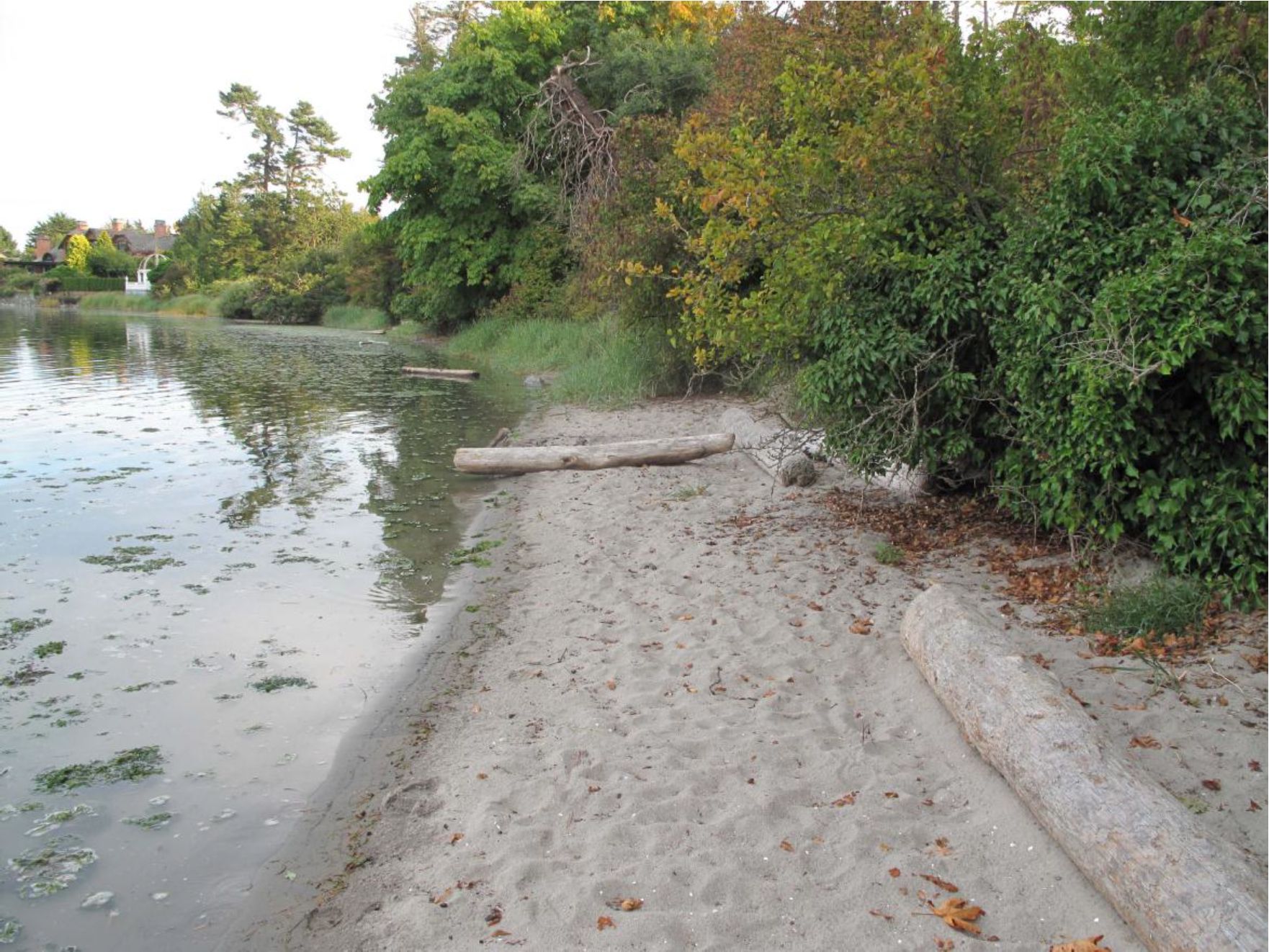
The rock was called Yicsack – which means “hat”. Dances were performed around the rock and it was treated with a coating of fish oil. In 1876, the sandstone slab was knocked off by cattle and broken. It was taken to Joseph’s home for protection, but was returned when needed in 1878, when bad weather prevented the Songhees from fishing.
Joseph said that about 1840, when he was a boy there had stood for many years “two square pillars about six feet high, set on end as to form a doorway. He remembered as a child going with his father on a stormy day to rub Yicsack and the pillars.” The stone was last rubbed in 1880, and still stood there in 1891 (James Deans 1891:170-171).
It is difficult to identify who Joseph was, as there were Songhees in the 19th century with both first and last names of Joseph. A possible candidate, would be a man named Jack Joseph who was born around the right time – if he was much older that his wife. His wife was Ellen Cecelia Haley who was born in Cadboro Bay about 1854(according to her birth certificate), or about 1866 (according to her marriage certificate). Her father, Ben Tehaley, was a Hawaiian Islander and her mother a Songhees named Mary Ann Kutkeetwulwit.
Information about where and when local First Nations were visiting or living at Cadboro Bay is often lacking in detail. Anecdotal Stories gleaned from the memoirs and relatives of European Settlers in Cadboro Bay, such as Benjamin Evans [who owned freehold, lots 75 and 76 in 1859; (Colonist 3/12/1859)], indicate the presence of First Nations there in, at least, the 1860s. Ursula Jupp indicates that the Evans family found “the Indians were unfriendly at first”, but “Before long the natives were exchanging fish and game for fruit and vegetables from his farm. The Evans children even went with the Indians in their canoes to the San Juan Islands and back” (Jupp 1988:23).
The man named Joseph may be the person referred to in the Daily Colonist of September 7, 1881, who was living in Cadboro Bay at the time. The newspaper notes that: “Yesterday an aged Cadboro Bay Indian laid a charge against another Indian and his klutchman [wife] …Sergt. Bloomfield and officer Hough were at once dispatched to Cadboro Bay and speedily took the accused .into custody and lodged him in goal [jail].”
Two houses occupied by Songhees were observed in Loon Bay, only two years later, by Robert James Roberts on February 27, 1883. Roberts noted:
“Close to the wharf are 2 Indian houses – Formerly – I believe they had a large village here – they belong to the Songist Tribe”. The wharf is that of Mr. VanVolkenburg who had a wharf with barn and stables near where the Victoria Yacht Club is today.
A painting was made of the location just north of the Yacht club by Thomas S. Gore in 1889. It shows two small shed-like houses and a portion of a third one. The house is located on what is now the west side of the north end of Rippon Road. The small islet in the painting is below the end of Rippon Road (The original painting is in the Royal Victoria Yacht Club Archives).
Sophie Micheal and Ned Williams, the Songhees First Nation consultants working with anthropologist Wilson Duff, and a source of information in his writing of the Victoria Treaties, took Duff “to the site of the Yacht Club and pointed it out as the village site where SM’s great-great-grandfather Kweekwukw …had lived until his death, when they took his body to Lekwungen (the Songhees Village at Victoria)” (Duff, 1969:48).
The practice of using stones at special ritual sites related to the changing of weather persisted as part of Lekungun culture as late as 1880. These two cases of stones being moved to change the weather, suggest that only natural stones were used, but there are large stones modified into human shapes that may also have served similar purposes (see Keddie 2003:171-172).
References:
Boas, Franz. 1891. Second General Report on the Indians of British Columbia, 1890. In: Report of the north-western Tribes of Canada, Vol. 6. British Association for the Advancement of Science.
Daily Colonist. 1881. A Charge of Garrotting. September 7, page 2, Victoria, B.C.
Deans, James. 1891. Yicsack, Or The Hat. The American Antiquarian, 1(3)170-171. Albany, Oregon.
Duff, Wilson. 1969. The Fort Victoria Treaties, BC Studies 3:3-57.
Jupp, Ursula. 1988. Cadboro: A Ship, A Bay, A SeaMonster, 1842-1958. Jay Editions, Victoria, B.C.
Keddie, Grant. 2003. A New Look at Northwest Coast Stone Bowls. In: Archaeology of Coastal British Columbia. Essays in Honour of Professor Philip M. Hobler. Edited by Roy L. Carlson, pp. 165-174.
Roberts, Robert James. 1883. Log Book of Sloop H.L.Tibbals. RBCM Archives, Manuscript A/E/R54.5.