By Grant Keddie.
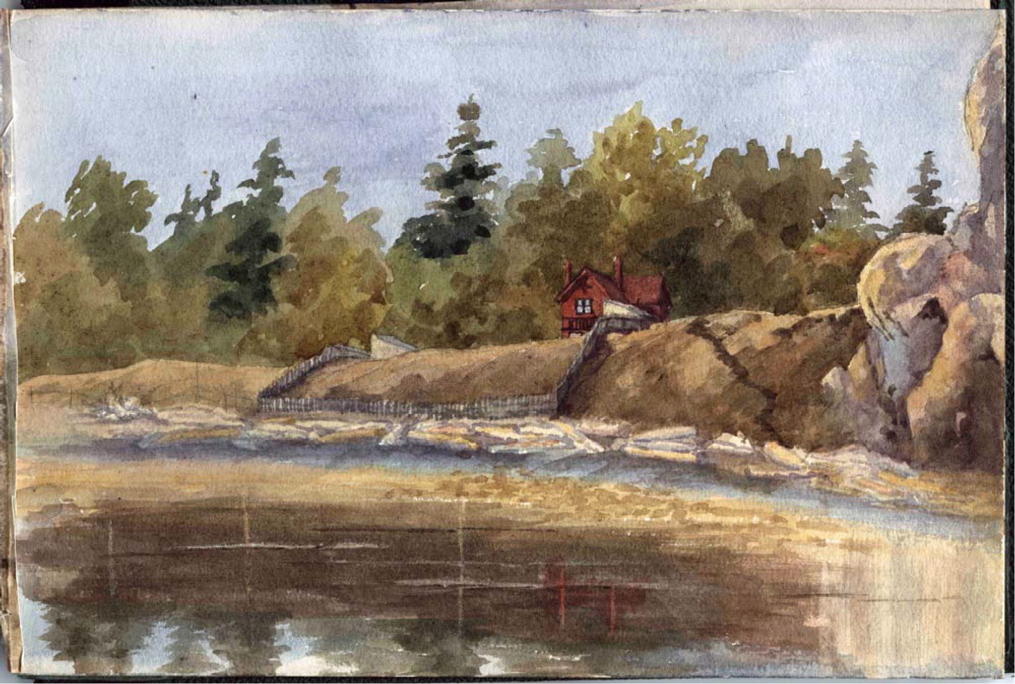
Inspired by the Landscape
As Donald Macaulay with his Tsimshian wife Margaret and the first four of their six daughters Mary, Flora, Catherine and Sarah, gazed out at the beautiful ocean view and the fields draped with blue camas, he must have been reminded of his native home on the Scottish Isle of Lewis. It was 1850, and Macaulay was bailiff of the new 600-acre Viewfield Farm owned by the Puget Sound Agricultural Company.
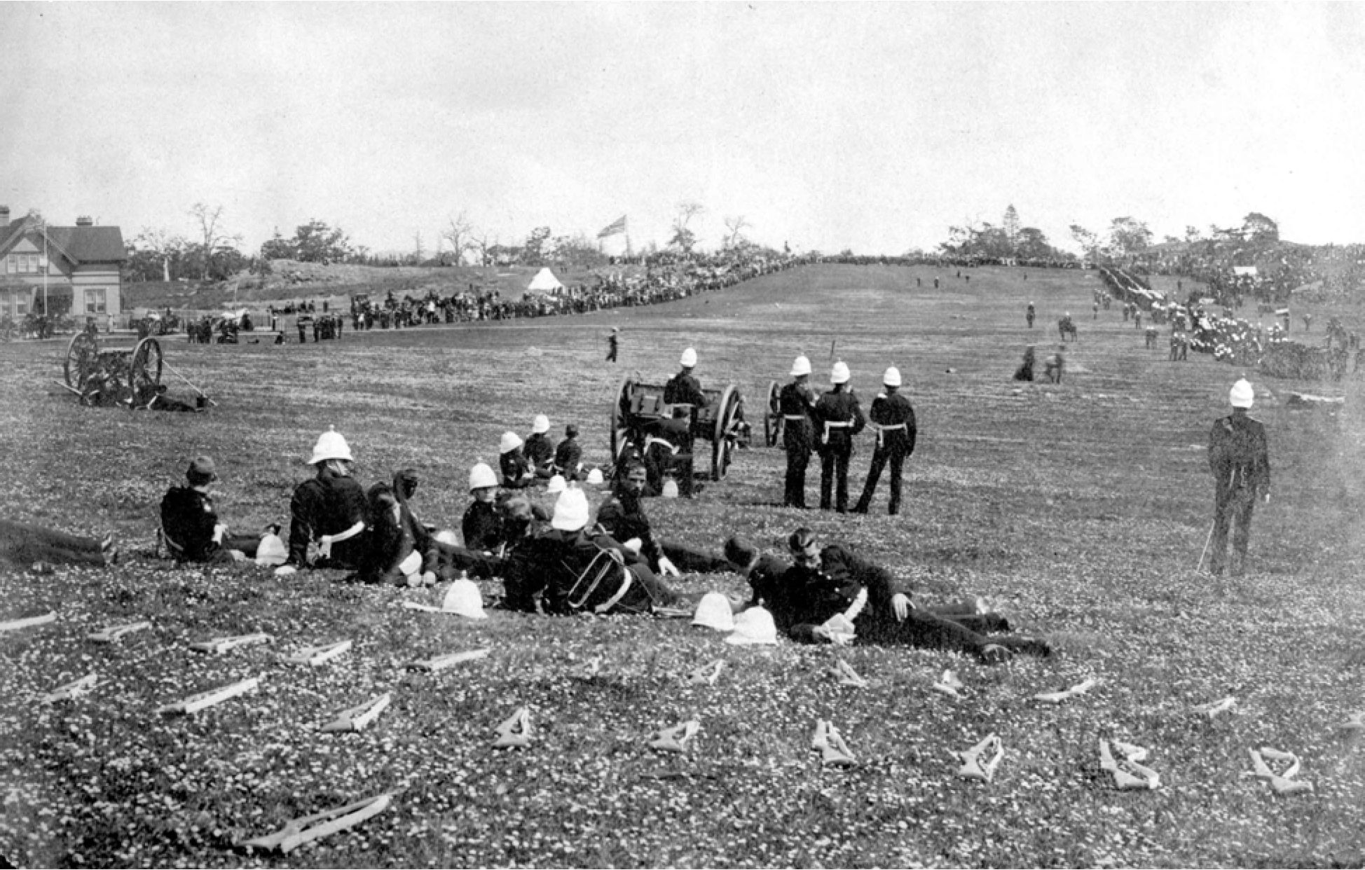
Macaulay could hardly have known that this landscape would one day be named after him. Or that it would become a popular military camp in the late 1890’s, where Victoria’s citizens flocked to witness regimental demonstrations.
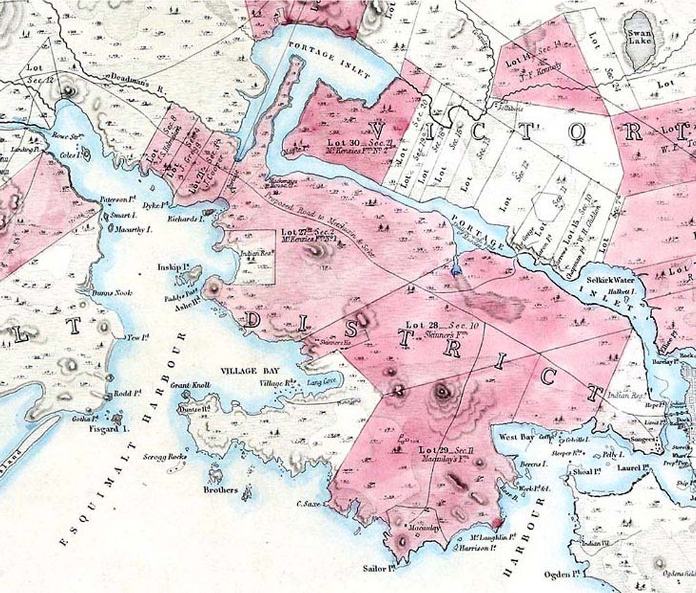
Macaulay Point was first named Sailor Point in 1847, but the Hudson’s Bay men called it Macaulay Point in 1851 and this was made official by the surveys of Captain Richards in 1859.
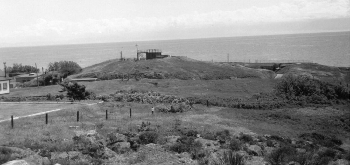
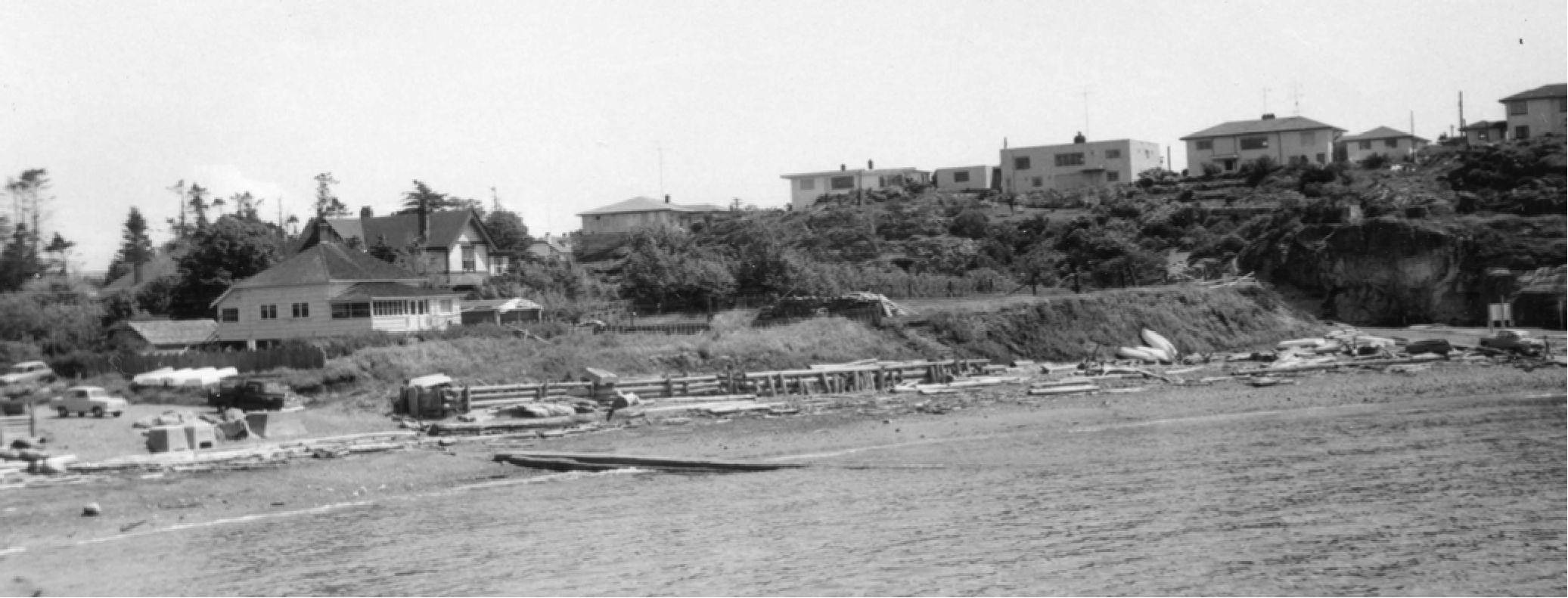
With the building of the military base and houses, the Macaulay Plains disappeared. But a visit to Macaulay Point reveals the large defensive structures that were still being used in the Second World War. Less visible are the three ancient archaeological sites in Fleming Bay.

First Nations cultural features
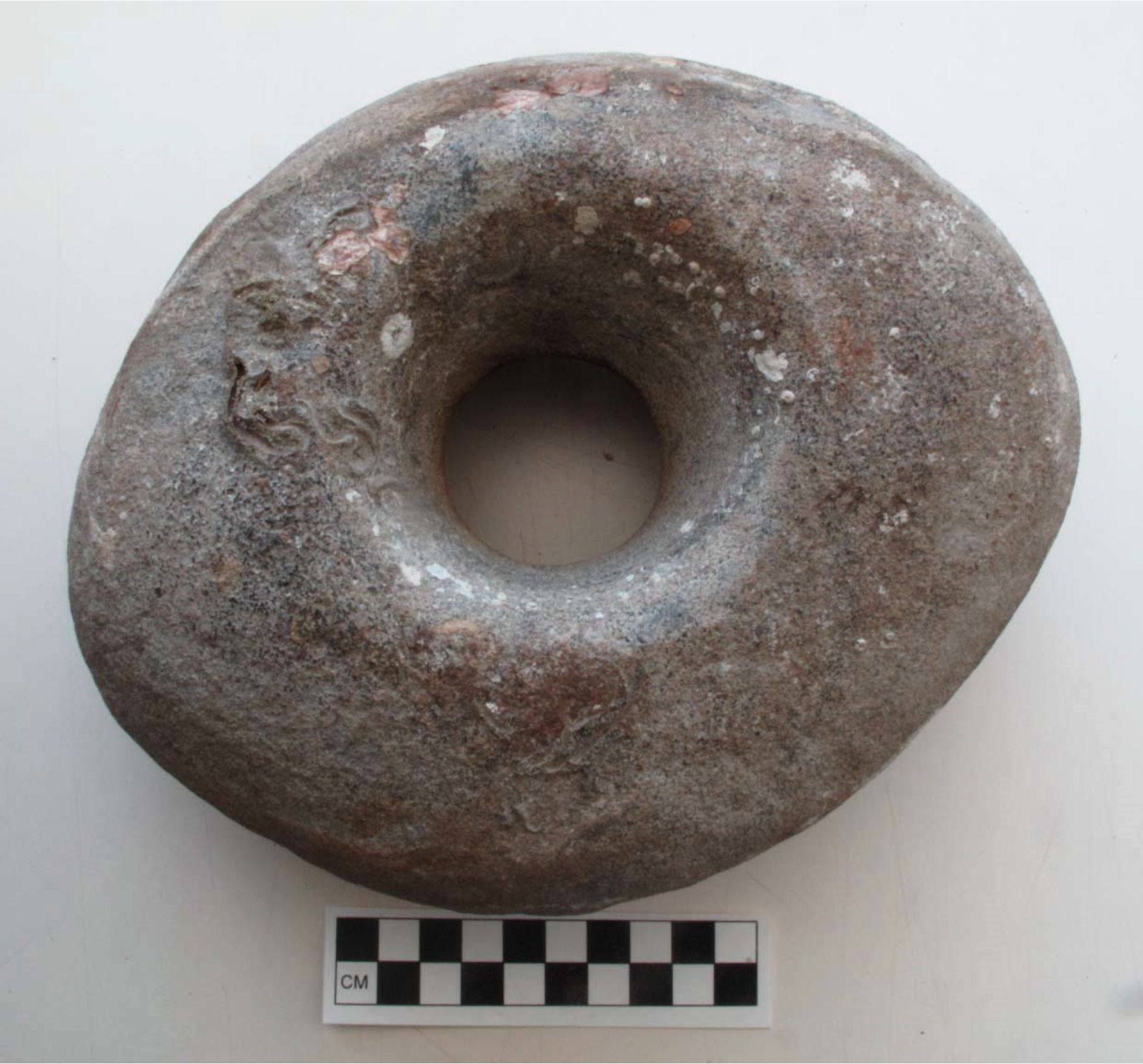
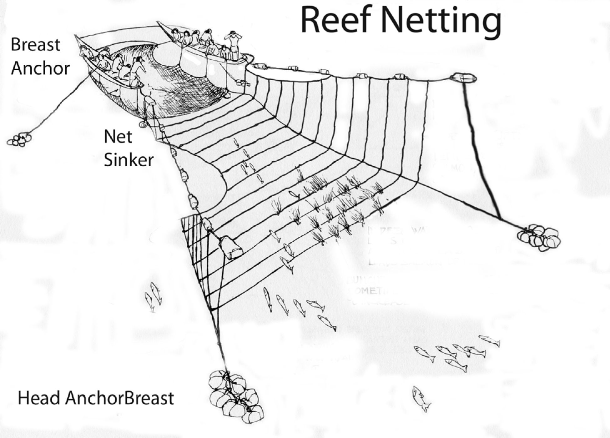
Macaulay Point was known as Mukwuks by the Lekwungen First Nations on whose traditional territory it was located. Today the Lekwungen are represented by the Esquimalt and Songees Nations. In 1952, Songhees elder Jimmy Fraser indicated that Mukwuks was once the location of a salmon reef net fishing station. The stone seen here in figure 4 is a net weight or anchor stone found by divers on Macaulay reef.
Divers also found piles of larger, unmodified rocks used as anchors on the reef net. Every year the kelp rope holding these anchors would be cut, and they would be left behind. This shaped rock would have been one that was retrieved after use, but in this case was probably accidently lost.
The oldest archaeological site in Esquimalt
Between about 5000 and 11,000 years ago, all of the many archaeological sites in bays around Esquimalt, were dry land. As the sea level rose to near its present height about 4,200 years ago, we find evidence of First Nations living at Fleming Bay.
A large shellmidden stretches across the back of the bay, containing shellfish remains, bones, artifacts and other evidence of past human behaviour. It is one of two equally old Archaeological sites in the municipality of Esquimalt. It dates to the same age as a shellmidden under the Tillicum Road Bridge. Much of the site has now been destroyed, but there are still portions intact.
The location was a camp, used at least on a seasonally basis, at various times starting 4200 years ago. On both ends of this large site were two later period shellmiddens identified as aboriginal defensive locations – used in times of warfare.
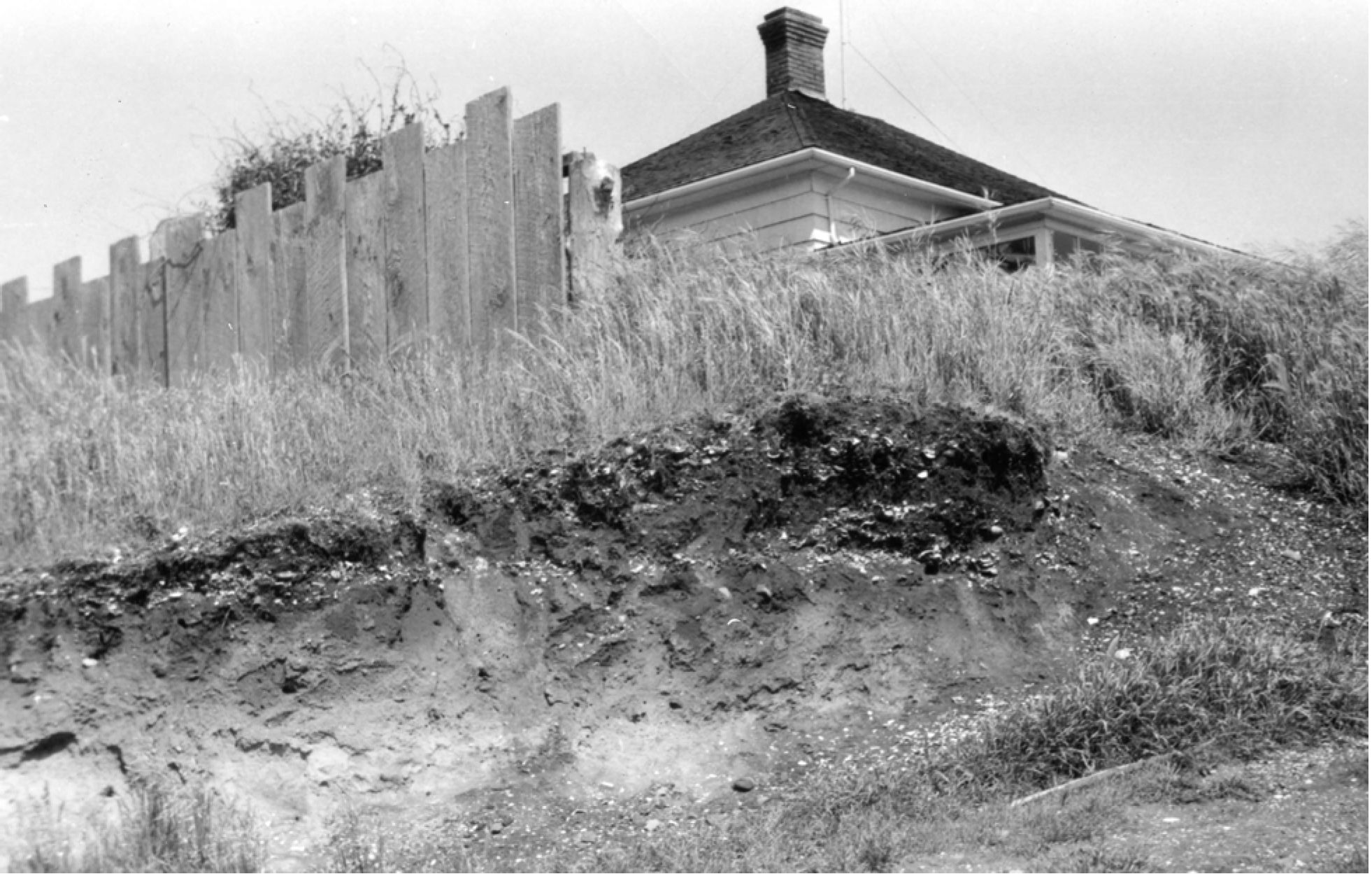
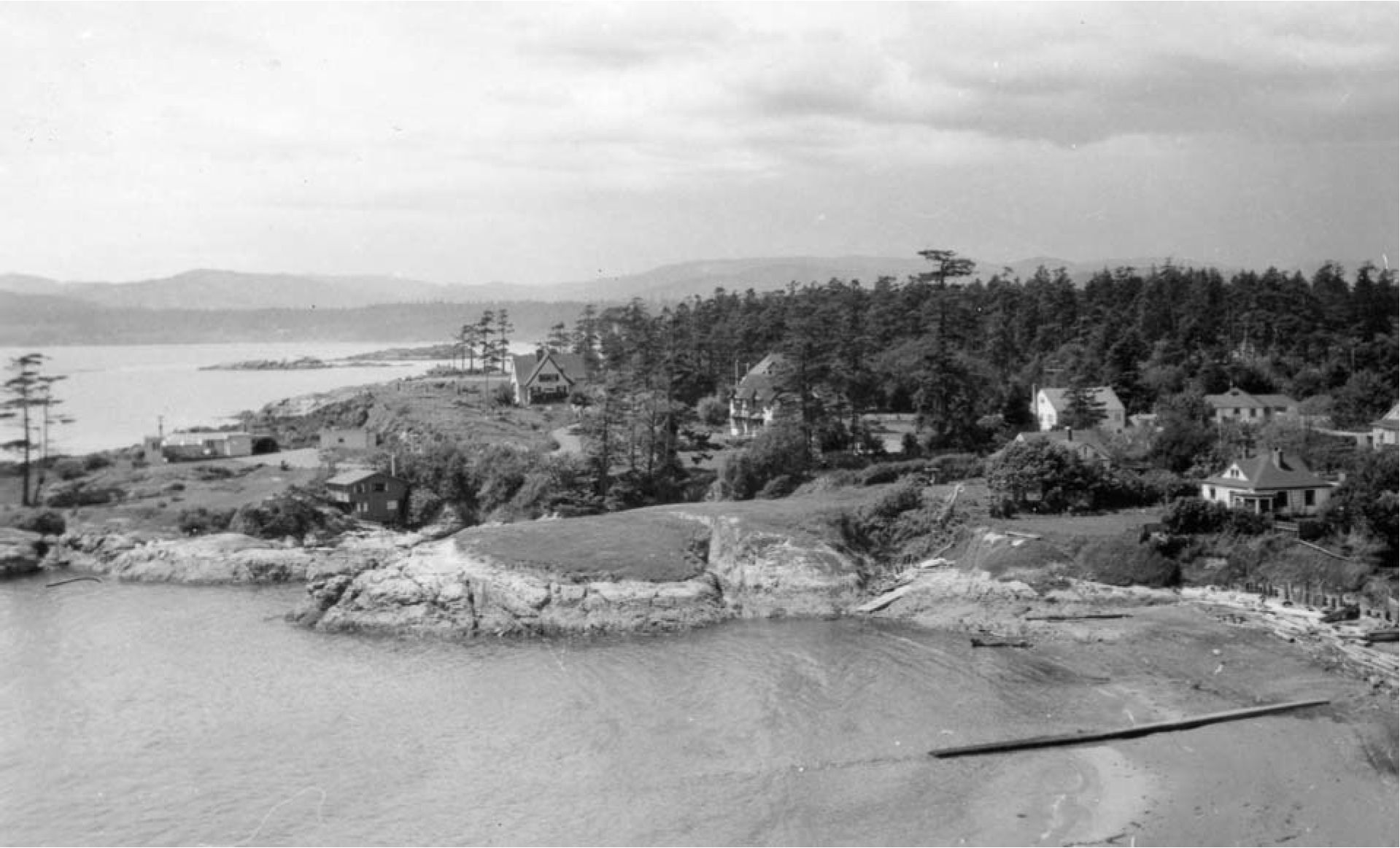
Defensive sites are often located on a raised peninsula with an intentionally dug trench across the back of the peninsula. The dirt was mounded up on the inside of the trench and wooden palisades placed in the inner rim of the trench.
This peninsula, extending out from the main shellmidden site was occupied at a later time period than the older deposits of the main site. This was a defensive location where about 800 to 1000 years ago a trench was dug across the back end of the peninsula.
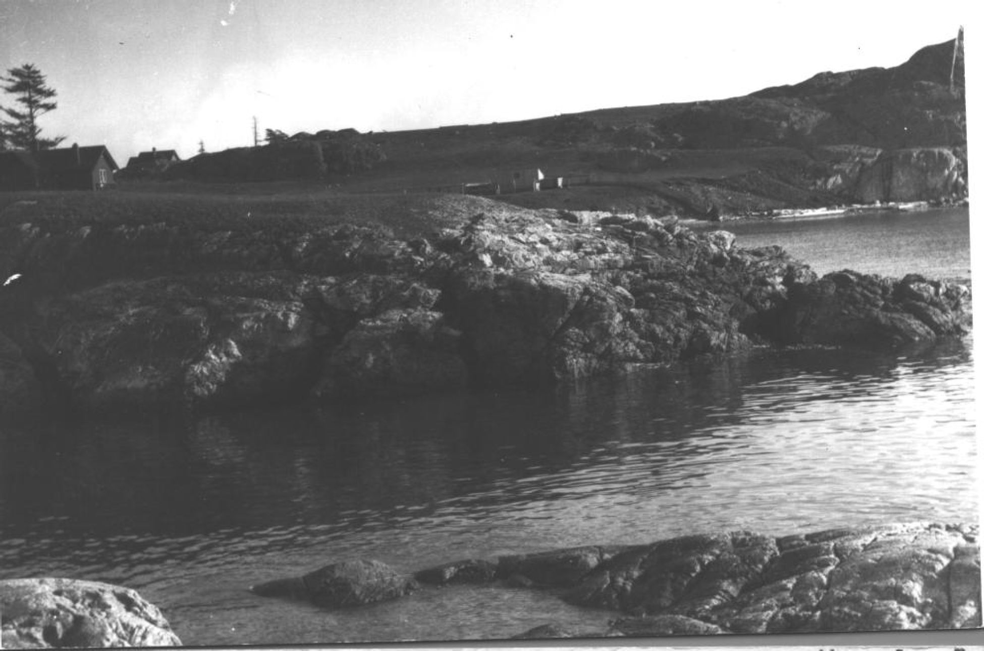
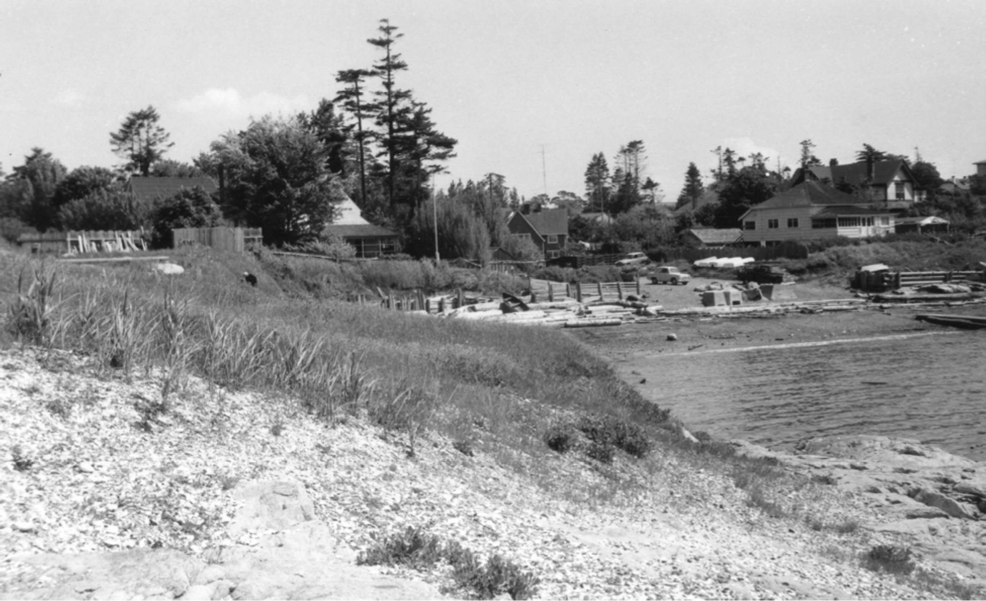
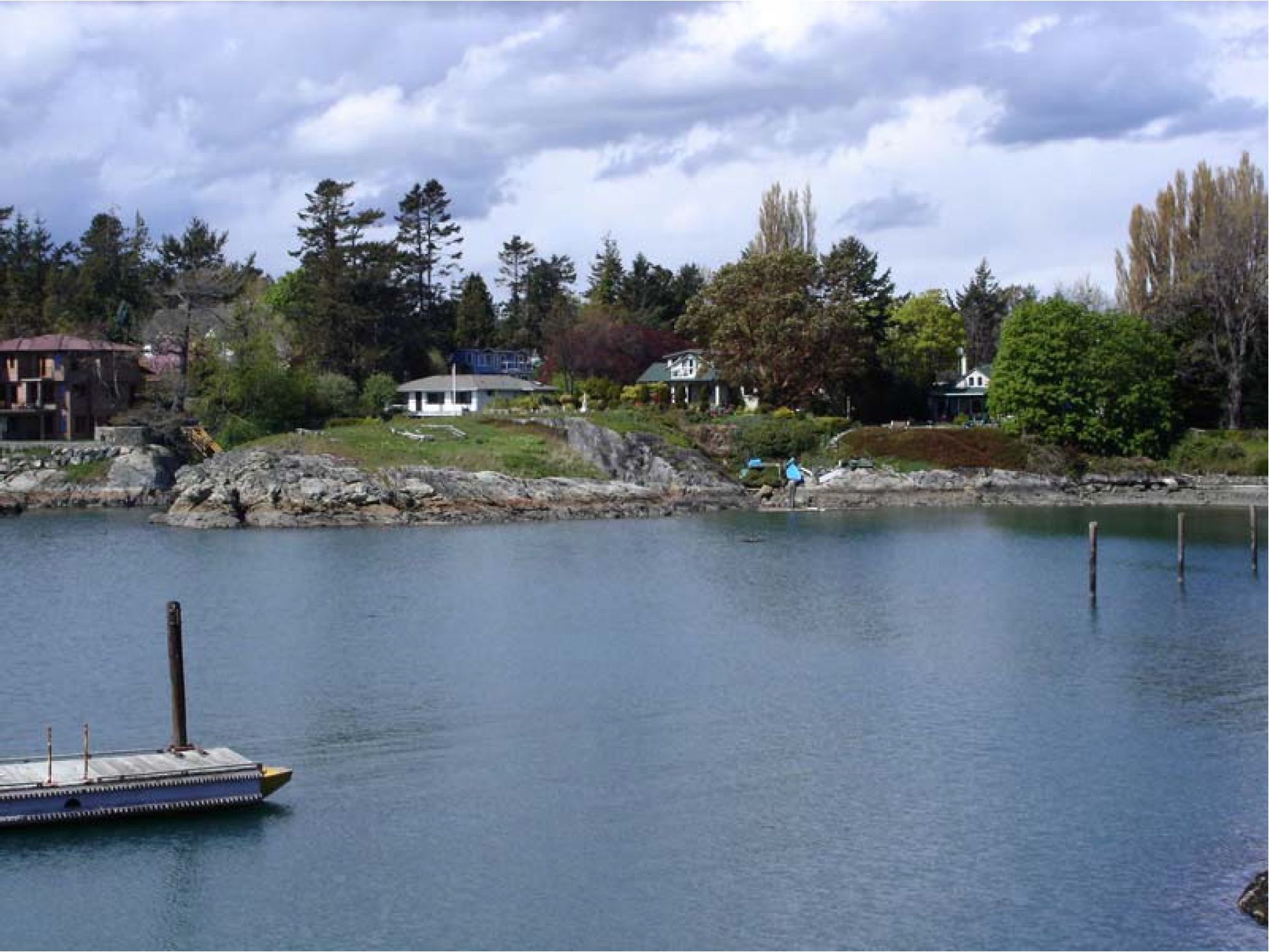
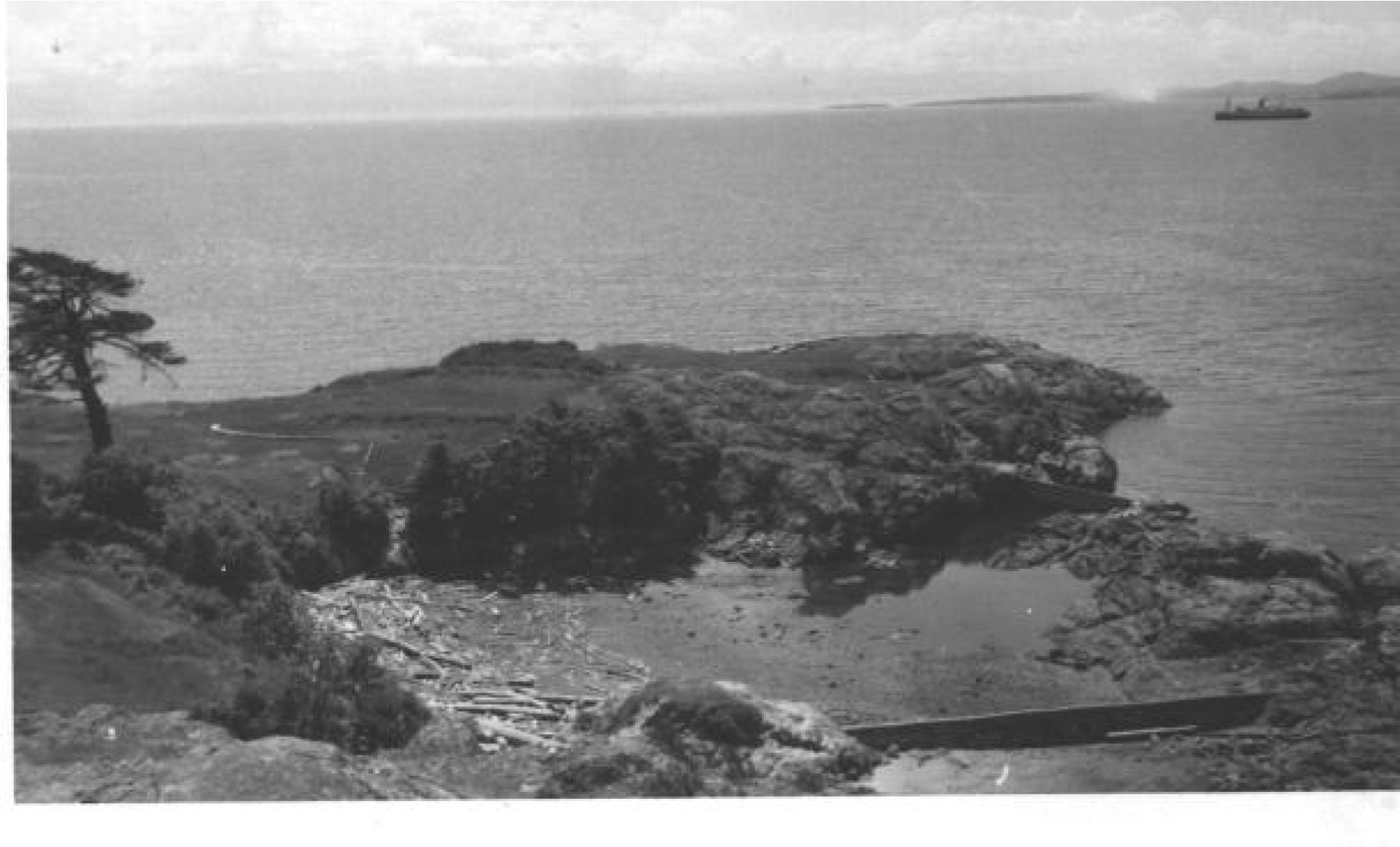
A second defensive site was located on the south side of Fleming Beach. Shellmidden deposits once occurred from the tip of the small peninsula that once formed the south side of Fleming Bay and extended eastward along the Bay to the ”Climbing Wall”.
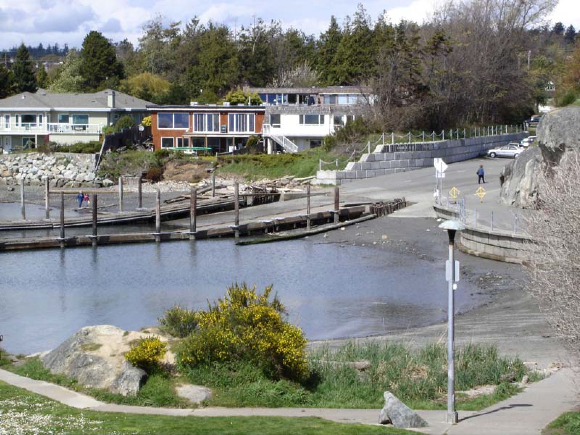
Esquimalt Anglers Association boat ramp. Much of it has been destroyed by the boat ramp and housing development. The “Climbing Wall” is on the far right (Grant Keddie, 2006).
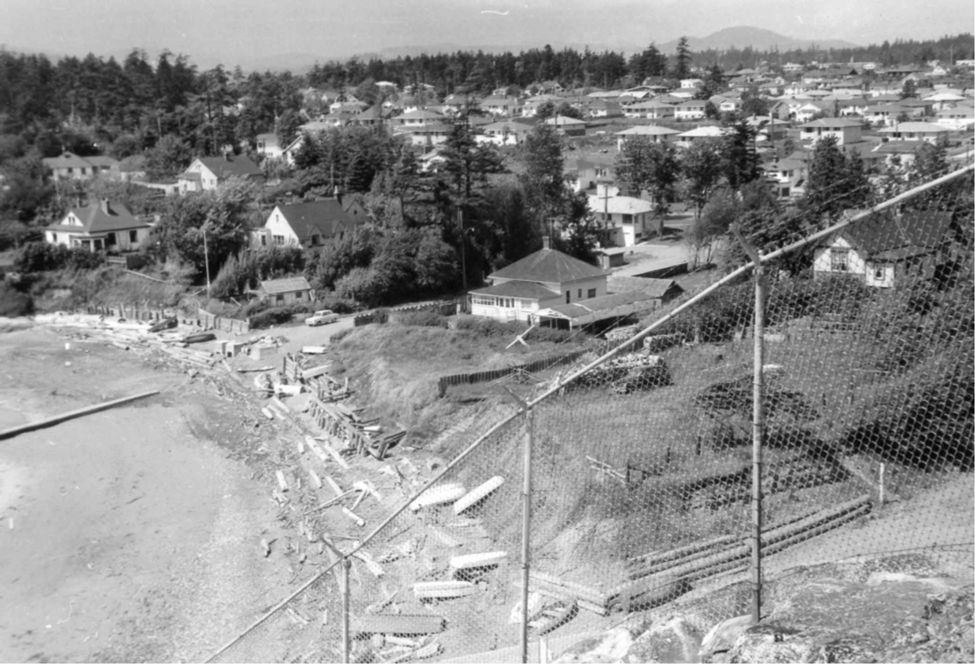
Fleming Beach shellmidden
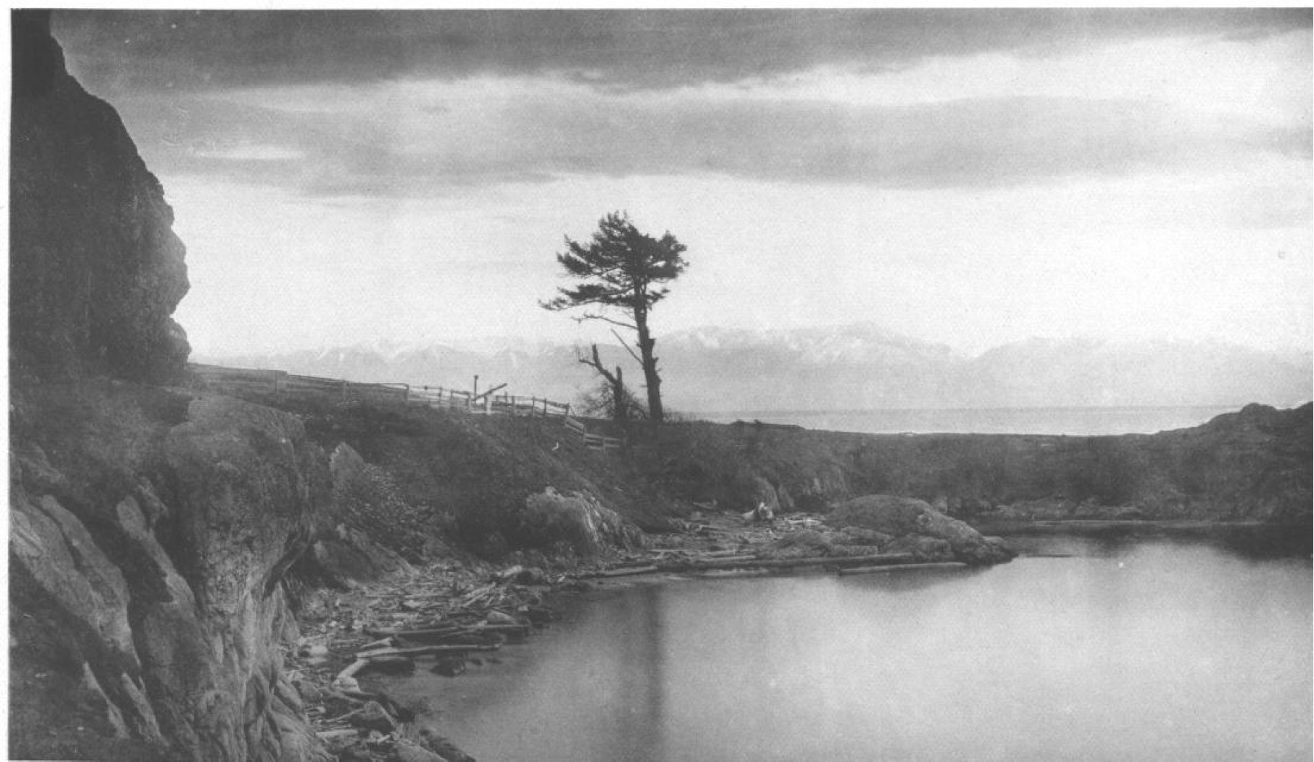
The archaeological sites at Fleming Bay were known since the 1890s, but officially recorded by Robert Kidd for the Provincial Museum in 1959. He took a series of photographs at that time which allow us to see the recent changes that have occurred.
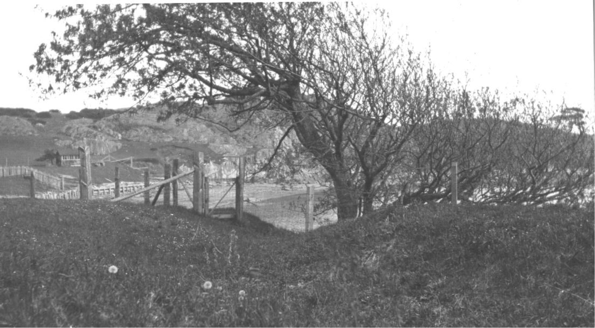
The western defensive site
RBCM, Ethnology Collection, PN169).
The southern defensive site
Take a walk
Fleming Bay and Macaulay Point are home to one of the oldest First Nation habitations in the region and two types of defensive sites – one from a thousand years ago and one used from 1878 until World War II.
As you walk around the bay you will be able to observe these special features and think of the Macaulay family that walked here before you.
Taking knowledge of the community’s heritage features, the rock underneath your feet, the birds, the plants and the fish in the water below will make your stroll along the waterfront a much more enjoyable experience. It gives the community a sense of place.