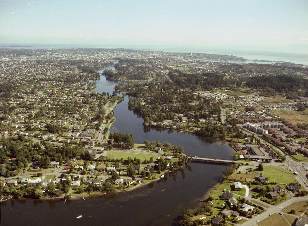
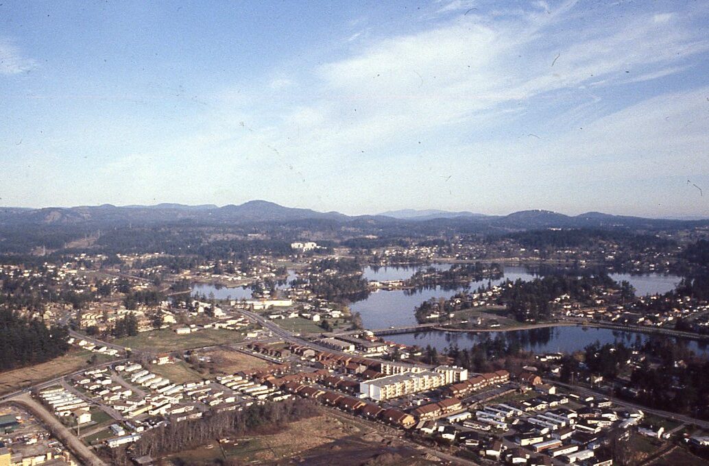
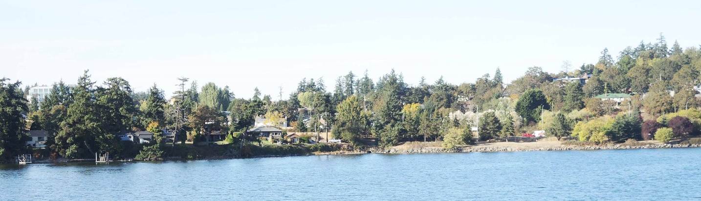
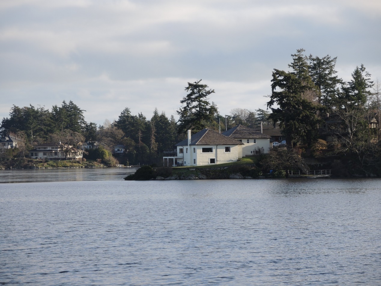
Portage Inlet
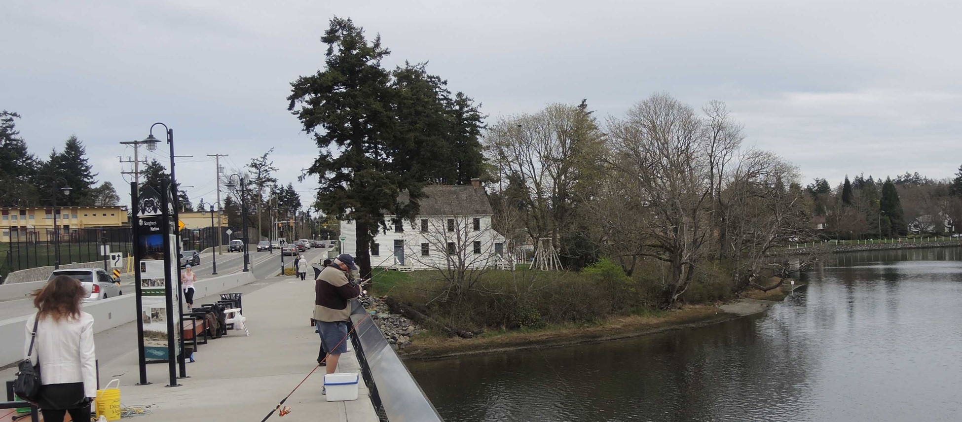
Here I include the location of an old Xwsepsum village, once located at Maple Point near the entrance way to Portage Inlet. This archaeological site, DcRu-4, includes the area of Xwsepsum Park, the grounds of the Historic Craigflower school and the south end of the new Craigflower school west of Admirals Road. Two major archaeological excavations were undertaken here,
James Deans, who worked in this area in 1853, noted that DcRu-4, was a previous village. He worked on the McKenzie farm with the Xwsepsum chief and other members of the Xwsepsum band, which is the likely source of his information.
Jimmy Fraser, who was the grandson of the Chealathack, recognized as a chief of the Songhees during the founding of Fort Victoria, indicated to anthropologist Wilson Duff in 1950, that once there were “a few” houses at Xwsepsum Park (Duff 1968).
Earlier, in 1934, anthropologist Diamond Jenness interviewed Jimmy Fraser and 85-year-old, David Latasse of Brentwood Bay. David’s father was a Songhees who was his main source of Indigenous history. He noted that several of his uncles were buried on the Old Songhees reserve. Jenness stated that: “The old summer home of the Songhees was at Xthapsim, just above the Gorge at Victoria; their winter home at Cadborough bay.” (Jenness, 1934:43). In another context Jenness mentions that: “It was through fear of both the Comox and the Kwakuitl that the Songish retreated in summer above the Gorge at Victoria,” (Jenness n.d., p. 1).
The comments of Jenness likely reflected changing settlement patterns due to the early 19th century raids of northern Indigenous peoples. Latasse told the story of the Xwsepsum location being a place of battle with northerners’ (Keddie 1992). I would propose that other areas of Portage Inlet were locations of retreat. See information for DcRu-92 at the Northwest end of Portage Inlet.
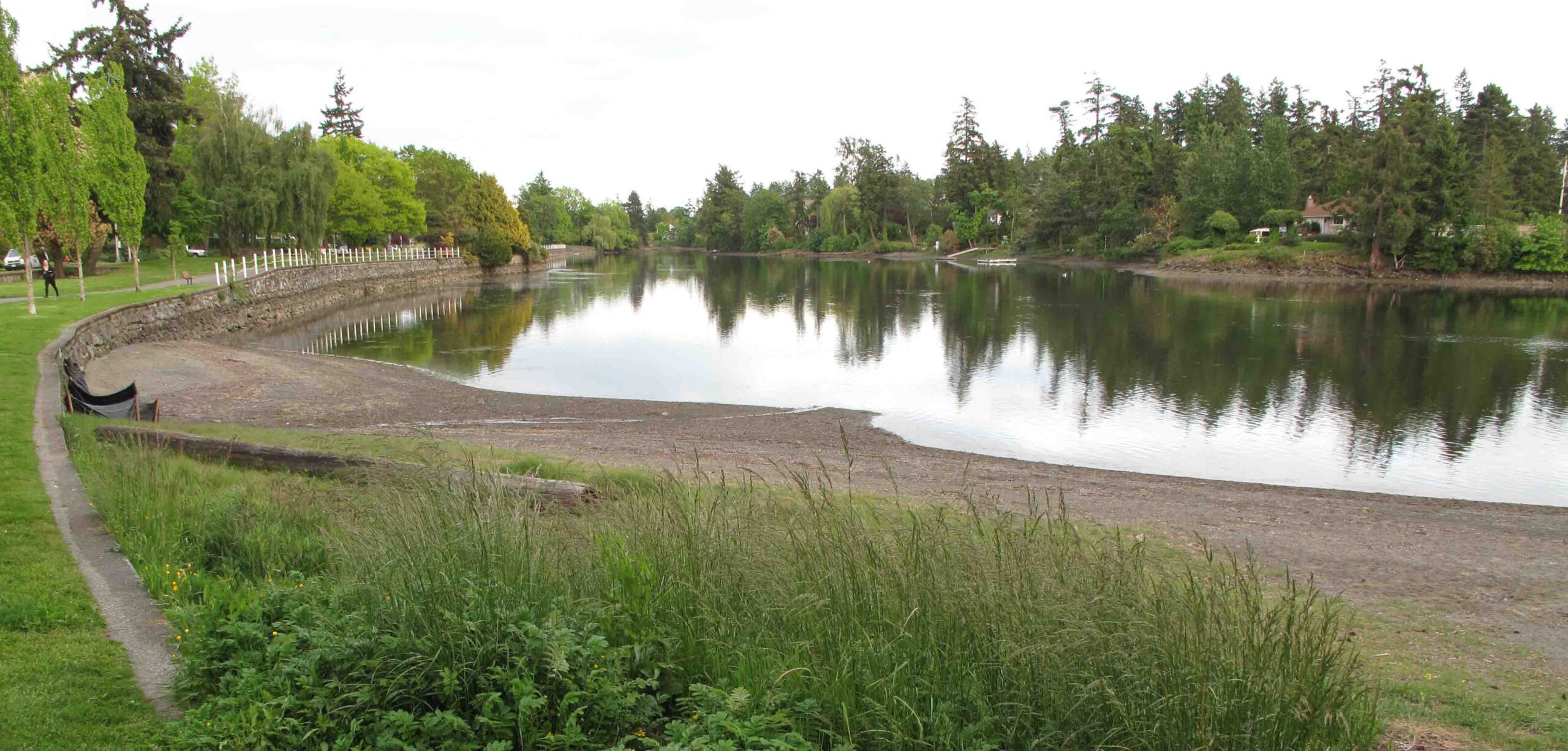
The Xwsepsum Site. Hope Point, DcRu-4.
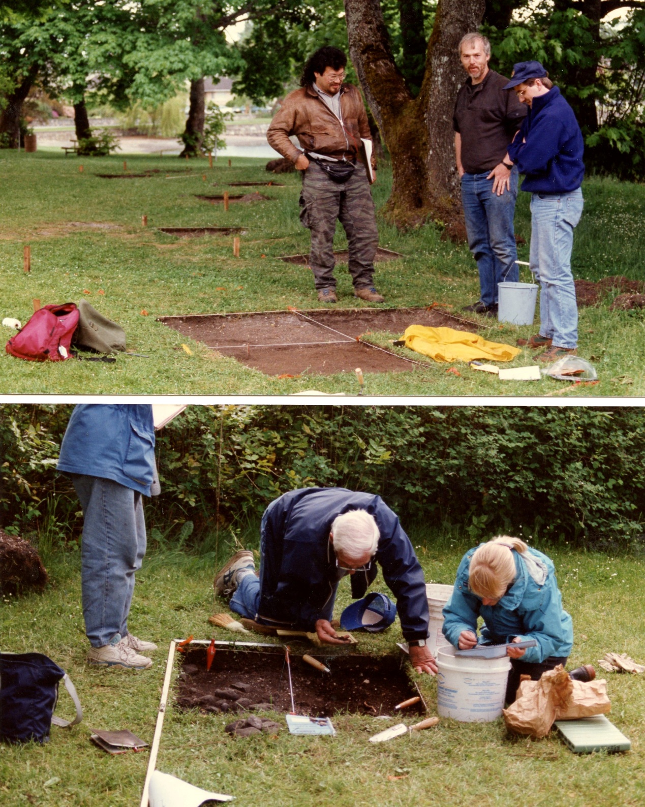
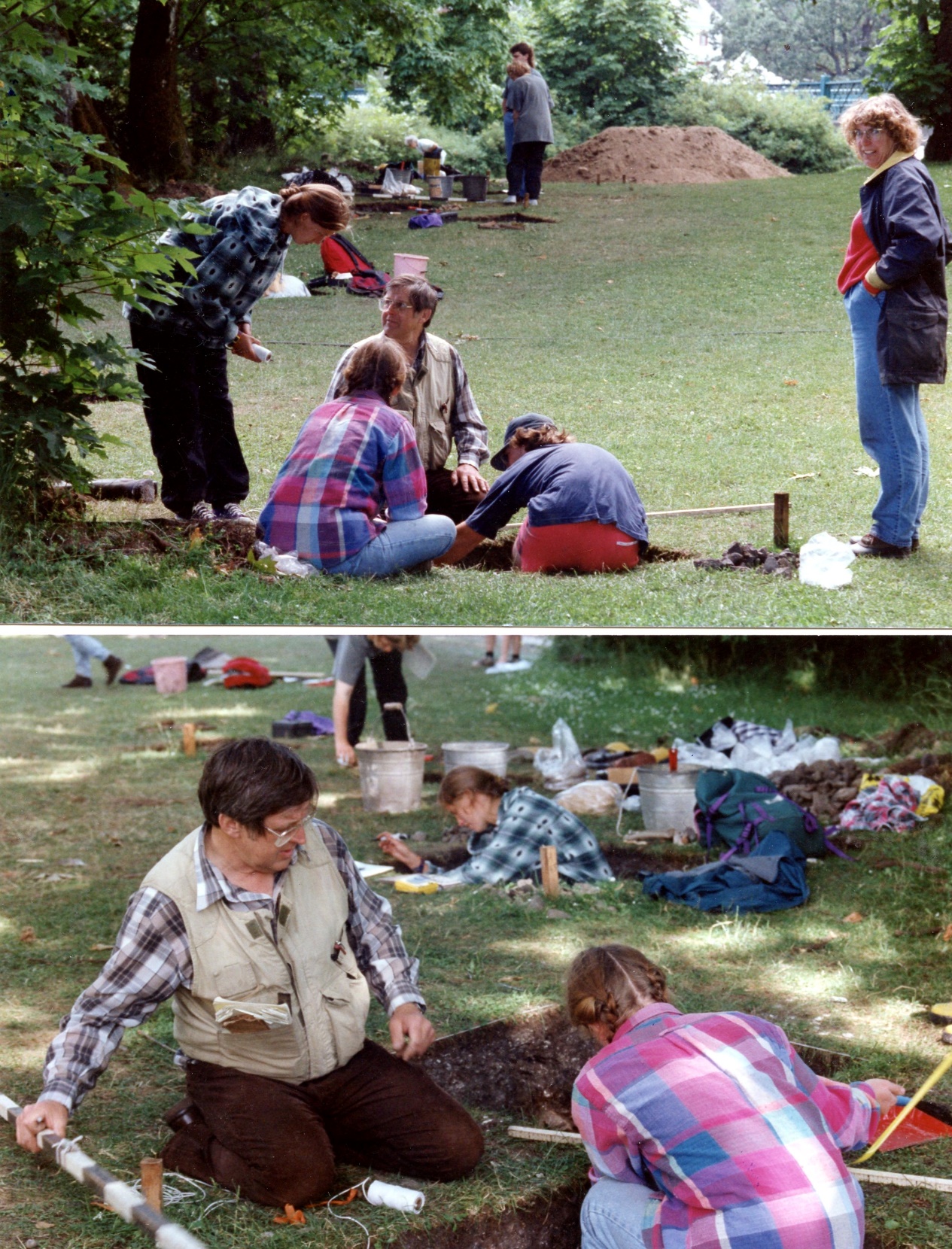
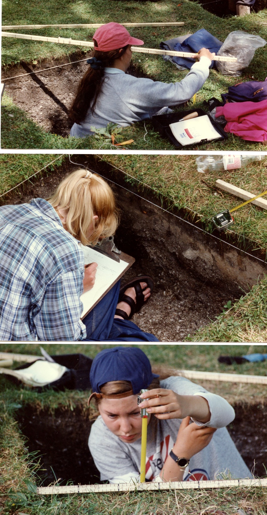
A large-scale excavation was undertaken in 1994 and 1995 at Hope Point on the B.C. Heritage properties at the old Craigflower school site. Admirals Road cuts through the site to the south of Gorge Road. The cultural deposits are found along the shore of Kosampson Park extending west across the south end of the present Craigflower school and beyond to the west.
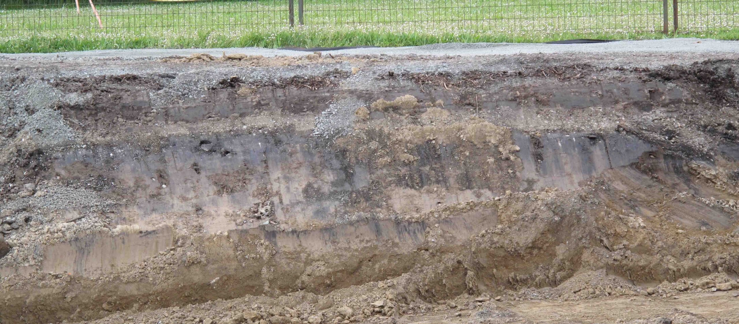
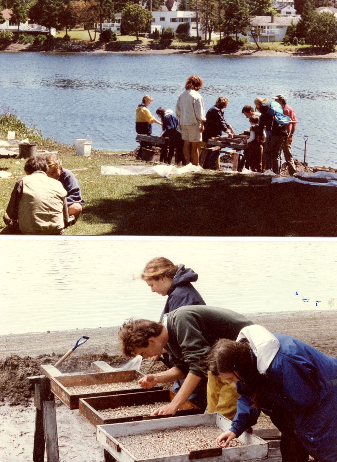
Excavations were undertaken as a field training project for students from the University of Victoria and with volunteers from the Archaeological Society of B.C. A total of 39 excavation units of 2×2 or 1X1 meters were excavation by 5cm levels and water screened. Cultural deposits varied in depth from 1.35 to 1.6 meters.
The deposits contained material associated with three different time periods defined as the Locano Beach and Gulf of Georgia culture types and the Historic Period after 1850.
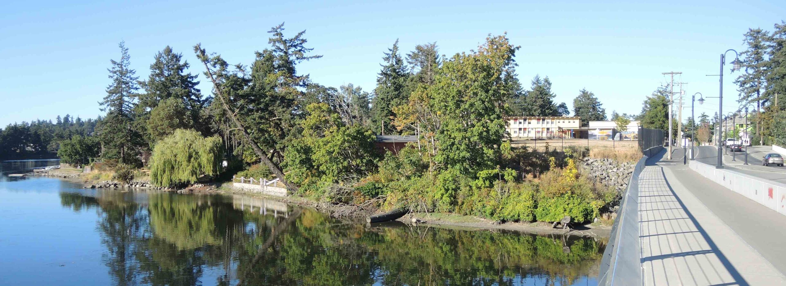
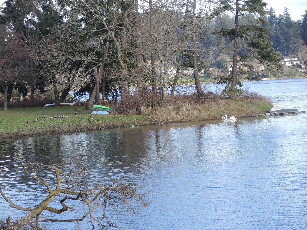
Figure 4. West side of DcRu-5. Old Xwsepsum Village location. Keddie photograph.
The older Locarno Beach culture type is defined as the period between 3500 – 2500 years before present, based mostly on mainland archaeological sites. At this site it includes a time range of about 2840 to 2020 years ago, based on 13 radio-carbon dates. These deposits were concentrated further east than the later cultural deposits.
The deposits contained artifacts common in this culture, such as small microblades of volcanic glass and quartz crystal, facetted ground slate points and small rectangular ground stone adze blades.
Six radio-carbon dates on the later Gulf of Georgia culture range from around 1760 to 800 years ago. Figure 11, shows a list of radiocarbon dates from the sites, from the Canadian Archaeological Society database.
The dating and extent of the cultural deposits, and the presents of burials found at the site, suggests at least some more permanent winter village use of the location and intermittent occupation over 2400 years. There appears to be a break in the use of the site shortly after about 2000 years ago.
Of the over 3000 artifacts collected from the site, most were from the historic period. Many of these, related to school activities, included writing slates, slate pencils and wooden pencil fragments, marbles and buttons. About 500 were related to Indigenous culture. Most of the latter were stone flakes discarded during the making of stone tools (Mitchell, 1994; 1995).
Food Resources from DcRu-4
The collection of faunal material was an important component of the excavations (Mitchell, 1994; 1995). The dominant species were herring and anchovy. Those collected in 1994 include:
Fish
Anchovy (Engraulis mordax), Herring (Clupea harengus), Dogfish (Squalus acanthias) Skate (Raja sp., Salmon (Oncorhynchus spp.), Stickleback (Gasterosteus aculeatus), Pile perch (Damalichthys vacca), Shiner perch (Cymatogaster aggregata), Greenling (Hexagrammos sp.), Pacific cod/Pollock (Gadus macrocephalus/Theragra chalcogramma), Flatfish (Pleuronectiformes), Staghorn sculpin (Leptocottus armatus).
Shellfish
Barnacle (Balanus spp.), Crab (Cancer sp.), Limpet (Acmoea spp.), Littorine (Littorina sp.), Bittium (Bittium spp.), Purple (Nucella sp.), Edible mussel (Mytilus edulis), California mussel (Mytilus californianus), Native oyster (Ostrea lurida, Macoma (Macoma sp.), Horse clam (Tresus sp.), Basket cockle (Clinocardium nuttallii), Little-neck clam (Protothaca staminea), Butter clam (Saxidomus giganteus), Mossy chiton (Mopalia muscosa), Black katy (Katharina tunicata), Giant chiton (Cryptochiton stelleri), Green sea urchin (Strongylocentrotus droebachiensis), Purple sea urchin (S. purpuratus)
Portage Inlet Archaeological Sites
Portage Inlet is a large tidal inlet fed by three larger creeks – Colquitz, Craigflower and Hospital Creek. All portions of the Inlet are very shallow with most areas under 2 meters in depth (Foster 1972).
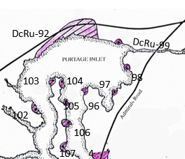
There are 10 recorded archaeological shellmiddens on the shores of Portage Inlet. They range in size and depth, suggesting that some were used for season activities on a short-term bases and others may be more long-term village sites or for special purposes, such as for periotic defensive sites. Few have had any archaeological work done, except for recording the basic surface features. The one with more extensive work, DcRu-92, will be overviewed here, with shorter notes on the others.
Northwest Shore Portage Inlet
DcRu-92
This is a large archaeological site along the north-western shore of Portage Inlet that was seriously damaged by the Vancouver Island Highway Project. I recorded this site in 1975, after it had already been impacted by previous highway and house development. I observed intact stratified midden in recent cuts along the north side of the highway in 1975, that I later discovered had been completely removed. I observed a considerable amount of midden pushed over the bank along the shore of properties near St Giles Street where I found a nephrite adze blade.
The site was about 400×50 meters in extent and ranged from 10cm to one meter deep. A more detailed examination of part of the site was undertaken in 1998 (Hewer 1998). Hospital Creek drains into Portage Inlet at the south end of the site.
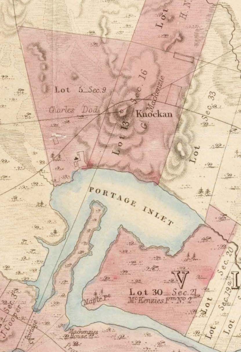
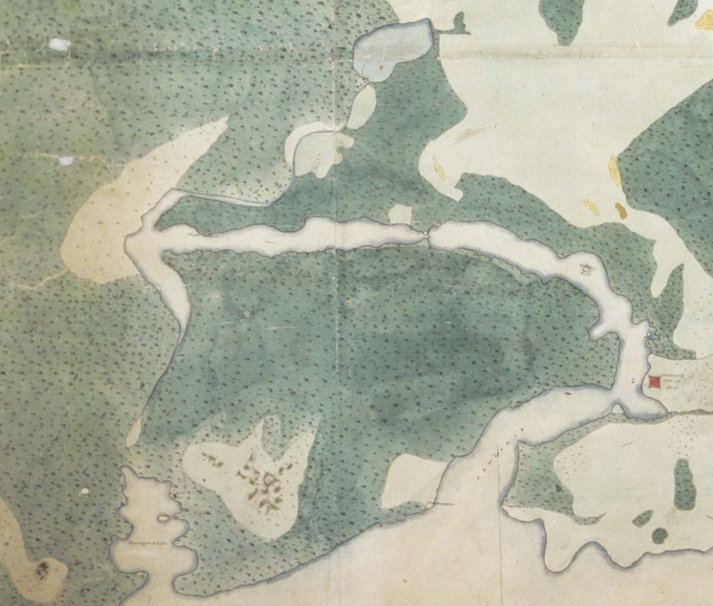
Figure 13, shows the early development of this property by Charles Dod in 1854. Note the swampy area associated with Hospital Creek in the southwest corner.
In 1995, Millenium Research undertook a contract on northern portions of the site resulting from a new highway development, referred to as the Victoria Approaches. In January of 1995, they began to survey, monitor and undertake impact assessment in the larger area. They then undertook emergency work on DcRu-92, excavating 8 units in the western extreme called A/B block and eleven units in the eastern end called T block (Millenium 1997).
The researchers were not able to do the kind of information recovery, that would normally be undertaken, because of the pressure of the ongoing highway development. A compromise was to excavate the first meter below grade and to cap the cultural material below road fill for future preservation.
A/B Excavation Area.
A radiocarbon date showed this area of the site was first occupied around 1000 years ago (1040+/-60 B.P. and 990+/-60), during the Gulf of Georgia phase. The artifacts found are consistent with those typical of the Gulf of Georgia phase. Upper deposits are missing due to disturbance, making it difficult to determine when the site was no longer used. Historic use of the site is shown by the finding of a glass trade bead, ceramic pipe fragments and glass fragments. This could be a result of Indigenous occupation of the site in early historic times. However, the pipe stem fragments could be a product of the early Dod farming activities (Figure 13), which would have included Indigenous people working on the farm.
I have found it interesting that the earlier Aldophus Lee Louis 1842 map of Portage inlet (Lewis 1842), although not very accurate in detail, shows the larger site area as being unforested (Figure 15). This might suggest that it was a heavily used village area in the late 1700s to early 1800s, during the time of raids by northerners.
This author has examined sandstone abrading stones from this site with concentrations of iron staining, indicating their use for sharpening iron tools. XRF analysis showed very high concentrations of iron on highly rubbed areas. The abraders were not associated with the few historic artifacts and could be from a late pre-contact time period.
The Animal Bones
A variety of artifact types indicate both processing and procuring activities such as deer hunting, but: “Artifactual evidence for fishing was less common than expected” (Millenium 1997).
Dogfish were common in the assemblage of faunal material. This fish was not known in historic times to be smoked for food preservation. It would usually be eaten near the time it was caught.
T Excavation Area
In this part of the site, the lowest layer E, level 7, dates to 2110+/-70 B.P. (Beta 108283). The number and style of artifacts are not sufficient to link them to a specific cultural phase.
The faunal remains suggest occupation the site was at different seasons. Mammals included deer, beaver, elk, black bear and racoon with only a few sea mammal bones – one Sea Otter, and two seal bones were found.
Clams were not found in large quantities, but appear to be more dominant in relation to oysters (Osrea lurida) at this site than others in the gorge. The main species recovered being Protothaca stamineais (native little-neck), but butter (Saxidomus gigantea) and cockle clams (Clinocardium nuttali) were common and Macoma nasuta (Bent-nose clam); Mya arenaria (Mud clam) and bay muscle (Myutilus edulis) were found in smaller quantities. Native oyster was more clustered in the upper levels and vary in importance at different levels.
Salmon and herring were important staples. It is suggested, that because of the absence of salmon cranial elements in the site, the salmon bones found may have been preserved food and indicate that the local area may not have been fished during the salmon runs between October and January. Yet the evidence from bird bones suggests “a possible fall through spring occupation” of part of the site and “a spring-summer and August through April occupation”. Acorn remains suggest a “late summer occupation” (Millenium 1997).
Fish remains included the small Pipe fish (Syngnathus griseo-lineatus); Stickleback (Gasterosteus aculeatus) and Goby (Lepidogobius lepdus). At least one example of sturgeon was found. Sturgeon, were not known in historic times in the Gorge, but may be those in a story told by an unidentified Songhees in 1911: “animals formed like huge fish and they live in the sea. Their home is at the bottom of that narrow place you call The Gorge. Many years ago, there were great numbers of these, but they are few now” (Keddie 2025).
There were once two major herring runs up the Gorge to spawn in the eel grass each year; in the fall (September – October) and in the spring (March-April). In the past, coho salmon and sea-run cut-throat trout used to spawn in large numbers. The cohoe salmon spawned in Colquitz Creek near the Trans-Canada highway and the cut-throats in Craigflower Creek’s upper waters. For more detailed studies on the local environment and fish resources of Portage Inlet see (Brown et. al. 1966; Marshal 1969; Waldichuck 1969; Neate 1970; Langford 1978).
DcRu-102
This site was recorded as being 55×30 meters in area and 20 cm deep. It is located on Kingham Road on a peninsula south of DcRu-92.
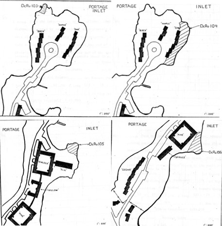
Cristie Point Archaeological Sites
There are five small shellmidden sites on the Christie Point Peninsula – that extends into the middle of Portage Inlet,
DcRu-103 was recorded as being 16×10 meters with only a small area being 20cm to 40cm deep. Partially destroyed by housing development.
DcRu-107 was originally recorded as being 31×8 meters with a depth of 40cm. It is located off Shoreline Road on the east side at the soutn end of the pininsula. Large portions of the site are now destroyed.
DcRu-106 was recorded as being 48×25 meters and 30cm deep. This site is located on the centre east side of the peninsula one meter above sea level. Much of the site has destroyed by housing development. (It was previously numbered as DcRu-93).
DcRu-105 was recorded as being 34.5X17 meters in size and 40cm deep. Located on a small point at the south end of the small bay south of the north end of Christie Point on the East side of the peninsula. Partially destroyed by housing development.
DcRu-104 was 82×25 meters and 40cm deep. A large tree on the midden indicated by dendrochronology that the site was over 500 years old. Partially destroyed by housing development.
East Shore of Portage Inlet
There are four shellmiddens on the upper east side of Portage Inlet. The largest of these, DcRu-96, is on a raised point. DcRu-96 was originally recorded as being 100×20 meters and 50cm to 1 meter deep. The site is at Ashley Road on a prominent point 2-3 meters above sea level, at the entrance to the widest portion of Portage Inlet and 635 meters from the mouth of Colquitz Creek. Large portions of the site have been impacted by housing development. A test excavation project in 2016 did not show any intact midden remaining on the site (Wilson 2009).
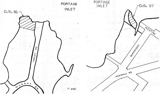
DcRu-97 is 45×20 meters and 30cm deep. It is located on Glenwood Avenue on a point of land. 450 meters from the mouth of Colquitz Creek.
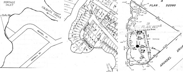
DcRu-98 was recorded in 1975 as being 43×8 meters in area and 10 cm deep. It is located at the end of Arundel Road on a small bay just south of Colquitz Creek. It had already been disturbed by house development and landscaping.
In 1990, I observed the site cultural deposits to be 33×17 meters. The site stratum was compost of dark brown soil, loam with small to large fragmentary mollusc remains and fire altered rocks. Historic ceramics beneath the shellfish deposits suggested the midden may date to the late 19th century. Although, a neighbour had found a stone adze blade and another neighbour, undefined stone artifacts nearby on Arundel. I observed an area at the north end of the site, 15mx5m with a depth range of 12-16cm, that appeared to have been partially intact (see map Figure –). Archaeological testing was undertaken on the site in 2010 which extended the site 12 meters to the Northwest (Golder 2010).
DcRu-99 was recorded as being 17×10 meters and 10cm deep. It is located on Portage Road on a small point on the north side of the entrance of Colquitz Creek. I observed the scattered midden on this property when it had been cleared for the building of a new house, The original measurement proved to be correct.
References
Brown, S. & Gray, D. & Lambert, P. 1966. An Ecological Survey of Portage Inlet, University of Victoria.
Emmett, Brian. 2000. Archipelago Marine Research Ltd. Subtidal Survey of Physical and Biological Features of Portage Inlet and the Gorge Waterway. Contract report for the Victoria and Esquimalt Harbours Environmental Action Program, Victoria, BC.
Foster, Harold D. Geomorphology and Water Resource Management: Portage Inlet. A Sace Study on Vancouver Island.
Golder Associates 2010. District of Saanich Archaeological Impact Assessment of Four Sewage Lift Stations, Saanich, BC. HCA PERMIT NO. 2010-0084
Hewer, Tony. 1998. Archaeological Inventory & Impact Assessment St. Giles Street Subdivision, DcRu 92, Victoria, British Columbia. Heritage Conservation Act Permit 1998-301 I.R. Wilson Consultants Ltd.
Jenness, Diamond. 1934-36.Diamond Jenness, Coast Salish Field Notes. Manuscript #1103.6, Ethnology Archives, Canadian Museum of Civilization).
Keddie, Grant. 1992. Installation of a Songhees chief. Discovery. Friends of the Royal British Columbia Quarterly Review. 20:1:1-3.
Keddie, Grant, 2025. Camossung. Bridging Two Worlds. https://grantkeddie.com/2025/01/06/camossung-bridging-two-worlds/
Langford, Robert W. 1978. Aqua Science Consulting Ltd. Colquitz-Craigflower: experiences in urban stream rehabilitation and watershed management. Colquitz-Craigflower Salmonid Enhancement Program. CRD Archives, Frank Neate fonds 2015-014.
Lewis Adolphus Lee. 1842. Hudson’s Bay Company Archives. Provincial Archive of Manitoba, map collection. G.2/25(T11146).
Marshal1, P. 1969. A Geomorphological Analysis of Portage Inlet, University of Victoria,
Millennia Research. 1997. Vancouver Island Highway Project, Victoria Approaches Archaeological Data Recovery DcRu-92. Volume 1and II. Report prepared for Ministry of Transportation and Highways. Under the conditions of Permit 1996-212, 1996-226, issued by the B.C. Archaeology Branch.
Mitchell, Donald. 1994. Excavations at Kosapsom Park (DcRu-4) Saanich, 1994. Report Submitted to The Ministry of Small Business, Tourism and Culture. Re: Heritage Investigation Permit No. 1995-038. January 31, 1995.
Mitchell, Donald. 1995. Excavations at Kosapsom Park (DcRu-4) Sanich, 1994. . Report Submitted to The Ministry of Small Business, Tourism and Culture. Re: Heritage Investigation Permit No. 1995-044. August 22, 1995.
Waldichuk, M. 1969. Eutrophication Studies in a Shallow Inlet on Vancouver Island, Journal Water Pollution Control Federation, No.41:745.
Wilso Consultants Ltd. 2009. Archaeological Investigations Various Terasen Gas Developments Greater Victoria Area, B.C. Heritage Conservation Act Heritage Inspection Permit 2009-0082