Clallam Mat Lodge

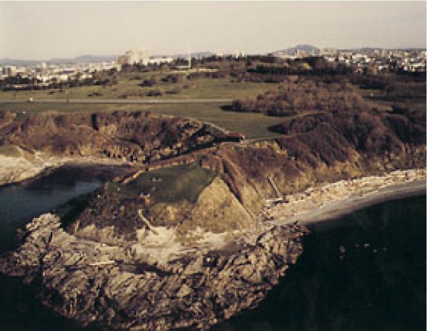
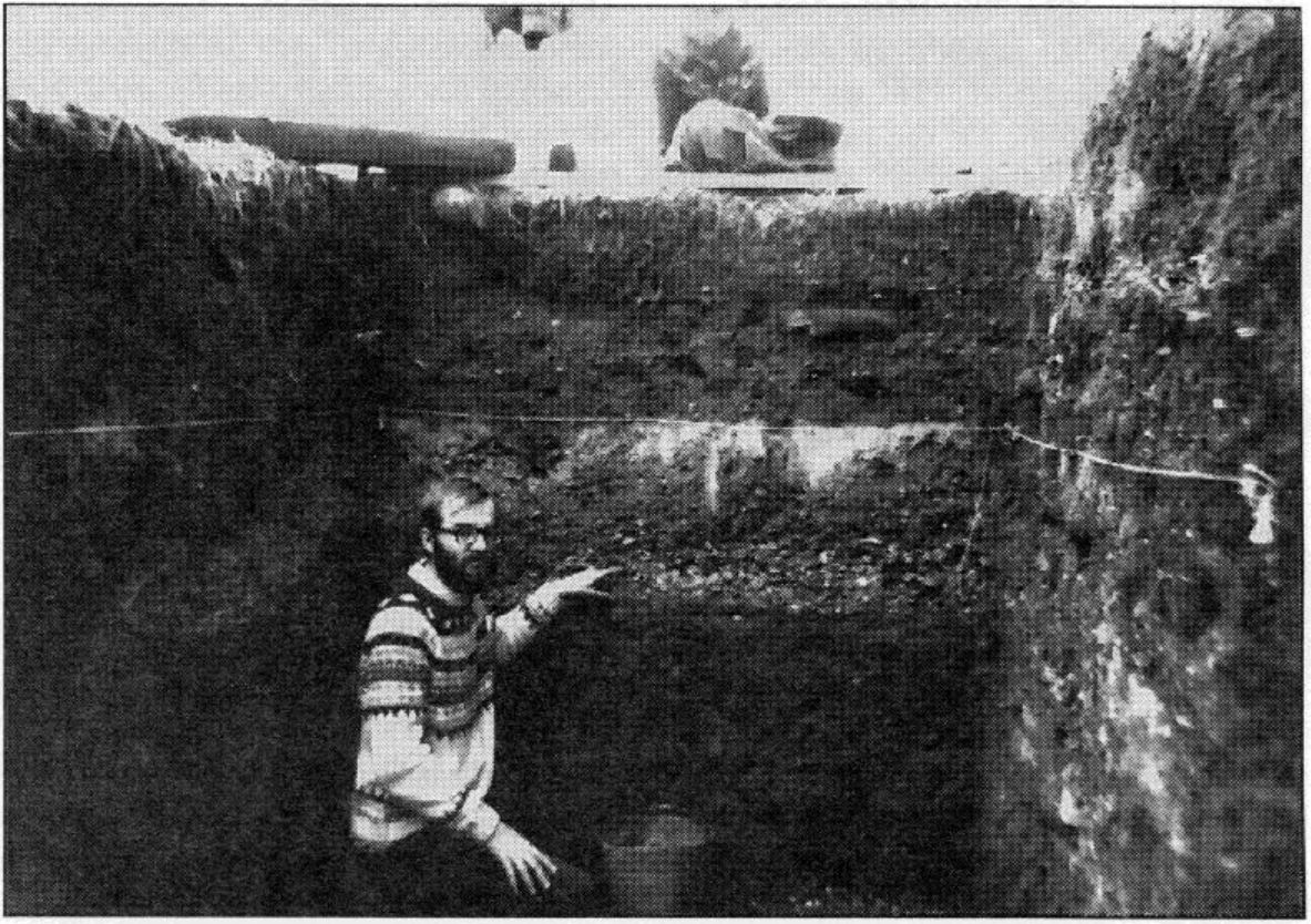
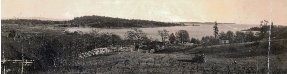
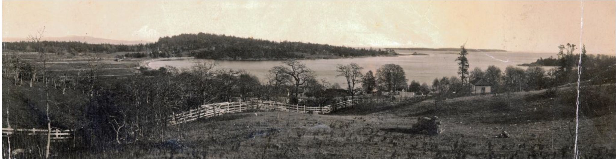
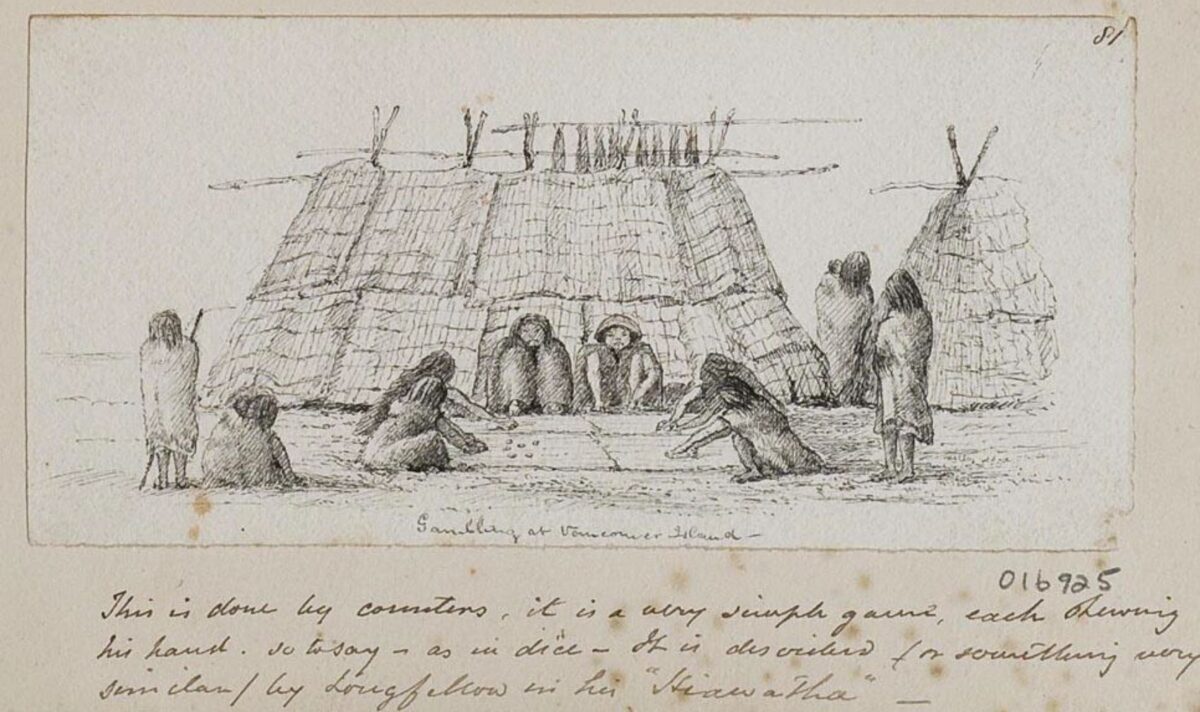
By Grant Keddie. 2013. Introduction The Victoria Harbour area, on Vancouver Island, is within the traditional territory of the Lekungen people who are represented by the Songhees and Esquimalt First Nations. In 1843, the Hudson’s Bay Company built Fort Camosun (later Fort Albert and Fort Victoria) in the Harbour. In the early days of this establishment (1843-1855), Clallam First Nations, from the American side of the Strait of Juan de Fuca, set up camps during their trading and employment activities with the Fort. The location and nature of these camps has been a subject of some uncertainty. But, the location of one of the Clallam camps has been made clear by the finding of unique images located in the Royal … Continue reading “Clallam Mat Lodge”

Aboriginal Defensive Sites

By Grant Keddie 1996. Part 1: Settlements for Unsettling Times Over time, glaciers, sea level changes and climate have reshaped our landscape. Around us today is the evidence of how humans have utilized that environment over thousands of years. By studying types of settlements, archaeologists can get a glimpse of how people related both to the natural world and to other people. In the Victoria area, bounded by Cowichan Head to the north and Metchosin to the west, there are about 100 shoreline shell-midden sites which represent the remains of old aboriginal villages. At least 18 of these have been recorded as defensive sites or villages with large wooden defensive walls and/or defensive ditches. In spite of the many observations … Continue reading “Aboriginal Defensive Sites”

Cultural Change in the Gulf of Georgia. Asking the Right Questions

Originally Published in The Midden, 24(3), 3-4. 1992. By Grant Keddie One of the things I find intriguing is the attempts some archaeologists make in trying to fit an artifact collection that is obviously too small, into poorly supported cultural phases. One or two widely divergent radiocarbon dates from a site serve as evidence for a continuous occupation of several thou­sand years. We seem to be preoccu­pied with having to fit every­thing into a nice neat evolutionary scheme when, in fact, human cultures rarely follow such continuous sequencing in environmen­tally rich areas. In the Gulf of Georgia it is most likely that a diversity of cultures moved from different direc­tions, at different times, to merge with and/or displace each other over … Continue reading “Cultural Change in the Gulf of Georgia. Asking the Right Questions”

Dating Archaeological and Ethnographic Materials with Chinese Coins

Originally published in Datum. Newsletter of the heritage Conservation Branch. Ministry of Recreation and Conservation. 1978. 3:2:3-5. By Grant Keddie.  1978. Introduction Early Chinese coins have been used occasionally to date historic burials or associated historical assemblages as well as being used as proof of a pre-contact circum-Pacific movement of trade goods or of proof of actual visitations by early Chinese explorers. By utilizing the di­rect historic approach it becomes evident that we must exercise caution in using Chinese coins as chronological indica­tors. I first became aware of the need to examine the reliability of dating with Chinese coins when trying to date a his­toric burial intrusion at the archaeological site DhRx 6 on Newcastle Island near Nanaimo. B.C. A … Continue reading “Dating Archaeological and Ethnographic Materials with Chinese Coins”

The Confusing Legend of the “Mystic Spring”

2003. by Grant Keddie In the municipality of Oak Bay, above the western side of Cadboro Bay, part of the uplands drain through a deep ravine now referred to as Mystic Vale. The creek that flows through this vale, or valley, has never been given a legal name but is referred to locally as Mystic Creek or Hobbs Creek. Mystic Creek flows north of Vista Bay Road and between Bermuda Street and Killarney road to the north of Cadboro Bay road. South of Cadboro Bay road the creek flows on the east side of Killarney road. Recently its south end was diverted east to Sinclair road. To the west of Killarney road is Mystic Lane. Artificial duck ponds have been created above and below this lane. The area between Killarney … Continue reading “The Confusing Legend of the “Mystic Spring””

Atlatl Weights

By Grant Keddie.  2007. Introduction This document is a technical, descriptive summary of all atlatl weights currently in the collection of the Royal B.C. Museum and some from other collections. This information is provided here because of the rarity of these artifacts and the difficulty of finding comparative information on the topic. WHAT ARE ATLATL WEIGHTS? An atlatl is a weapon composed of a flexible light spear or dart and a shorter throwing board that acts as a lever to propel the dart through the air. The weighting can be incorporated into the design of the throwing board, or represented as a separate item that is attached to these throwing boards. The dart should be thought of as being more … Continue reading “Atlatl Weights”

Hedley Cave Site DhRa-2

2005. By Grant Keddie The Chuchawaytha Rock Shelter Pictographs. Since reading the Midden article by Darius Kruger (2005), I thought I should add some unique information to his favorite ancestral site – the Chuchawaytha Rock Shelter, DhRa-2. This Similkameen region site has been referred to in earlier literature as the Hedley cave site. There has been some confusion regarding this location perpetuated by non-First Nation stories about early visits by Spaniards. Two clusters of images referred to as “the horseback riders” and “the prisoners” have often been misinterpreted by non-First Nations, as a single unit that represents Spaniards on horseback with ropes tied around the necks of a group of First Nation prisoners. This interpretation is an attempt by non-First Nations to fit these images with … Continue reading “Hedley Cave Site DhRa-2”

The Legend of Camosun

Originally published in: Discovery: Friends of the Royal British Columbia Museum Quarterly Review, 4(5). By Grant Keddie.  Autumn 1991. Introduction  The location of the reversible falls on the Gorge waterway in Victoria is significant in the history of Vancouver Island’s Songhees Indians. The legend of this beautiful spot under the Tillicum Road bridge produced the name of the city’s Camosun College, and was the first name for the Victoria area used by both Indians and fur traders. In 1843, James Douglas of the Hudson’s Bay Company referred to the waterway from Victoria Harbour to Portage Inlet as “Camosack”. The new fur-trade post was called “Fort Camosack”, and then “Fort Albert”, before it officially became “Fort Victoria”. Camosack was an interpretation … Continue reading “The Legend of Camosun”

Ulna Bone Tools

Originally published in The Midden, 44(3/4). Ulna Bone Tools: Identifying Their Function By Grant Keddie. 2012. Ulna tools have several main uses that are often not recognized in the archaeological literature. Based on my own experi­mental uses and an examination of the ethnographic literature, we can describe at least four different common uses of ulna tools. Ulna bones, which are the lower limb bones in animals, have a naturally shaped end that functions as a handle with little or no modification needed, and the pointed end is easy to shape into a functioning tool. The working ends of these tools need to be dif­ferent to fit the intended function. Non-ulna bones with similar ends may, of course, have similar functions. … Continue reading “Ulna Bone Tools”

Stone Cultural Feature in Thunderbird Park

By Grant Keddie.  22-02-2013. Introduction At the Royal B.C. Museum, in Victoria, British Columbia, a large natural stone with a shallow concave surface can be seen outside in the native plant garden near the North-East corner of Thunderbird Park (Figure 1 & 2).     This is a cultural object associated with First Nations that was once located south of Kamloops in the Southern Interior of British Columbia. The recorded details of its history are somewhat confusing. The natural shallow depression on the top of the rock fills with water when it rains, often forming unique patterns on the surface of the water. One could speculate that it may have been used like a mirror (Figure 3). During light rainfalls, … Continue reading “Stone Cultural Feature in Thunderbird Park”