Camossung. Bridging two Worlds

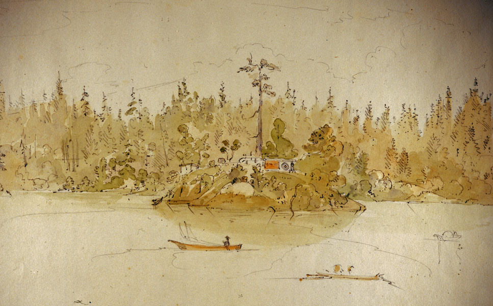
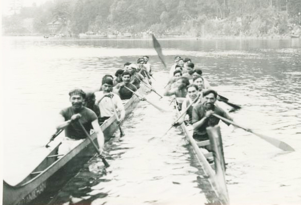
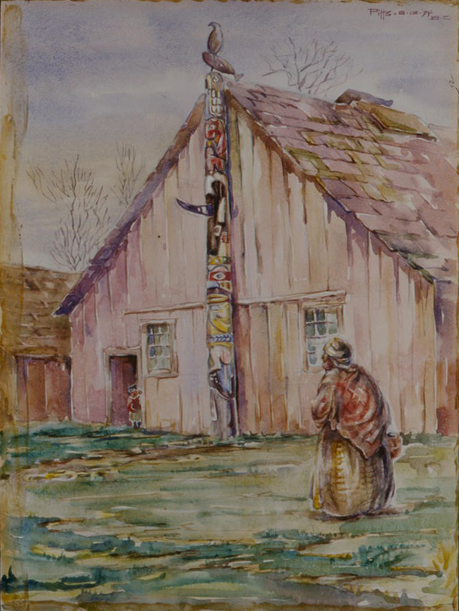
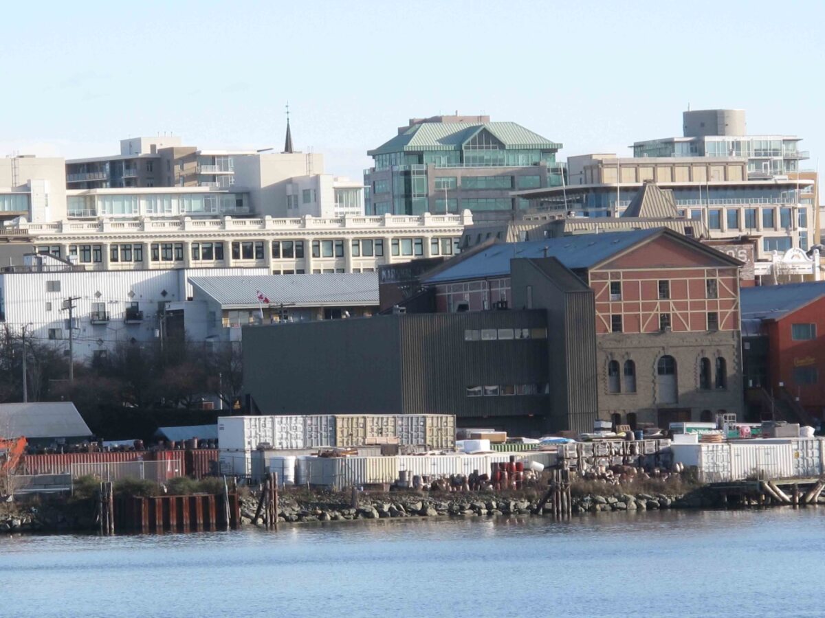
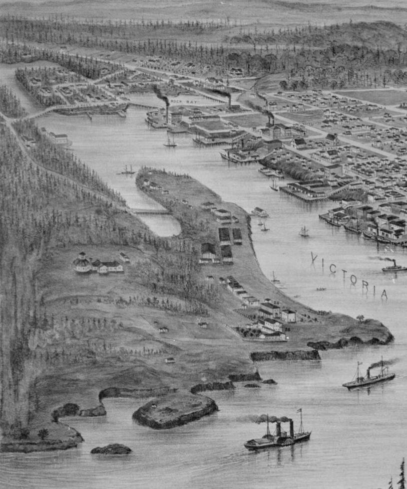
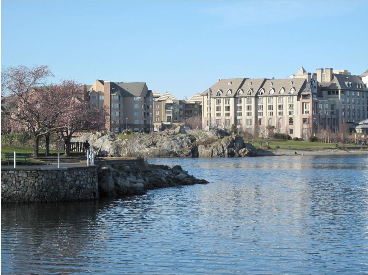
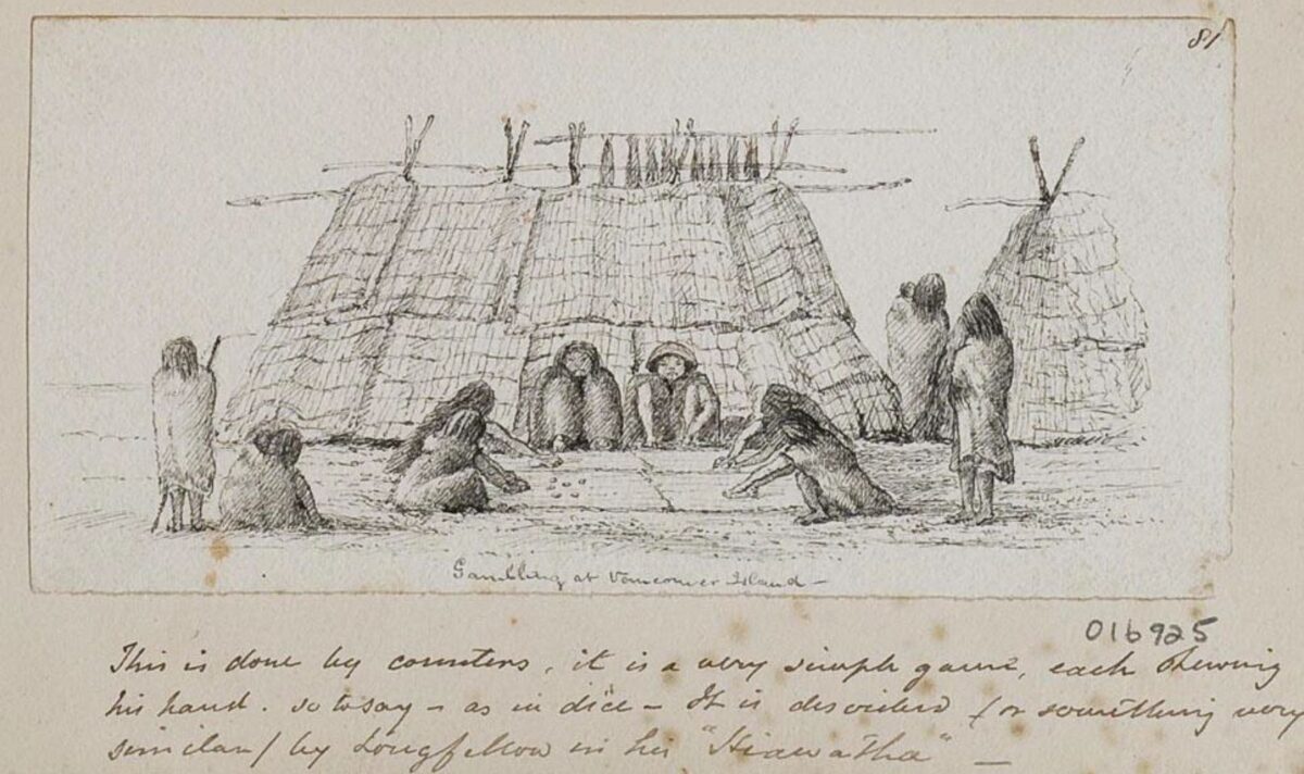
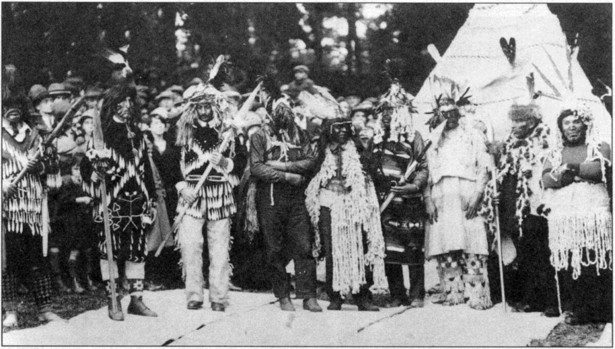
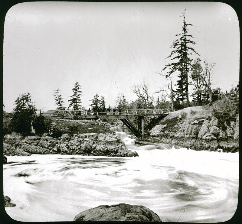
Introduction The Gorge Waterway is a special place in the tradition and economy of the Indigenous Lək̓ʷəŋən people of Greater Victoria. The Gorge reversing falls were the focus a special creation story for the Lək̓ʷəŋən, but also became a special place of celebration for the European populations that infiltrated into their territory. It is a story of transition between interconnected worlds with a moral that is aimed at bringing about a better world. A theme of preservation that transgresses time. The legend of this beautiful spot produced the first name “Fort Camosun” used by both the Indigenous Lək̓ʷəŋən peoples and fur traders (see appendix 2). Today it provides the name of Camosun College and Camosun Street. In the Lək̓ʷəŋən tradition, … Continue reading “Camossung. Bridging two Worlds”

A lək̓ʷəŋən Burial Island

Halket or Deadman’s Island (Please respect this special location and view it only from a distance). On southern Vancouver Island it was common for, at least some, Indigenous families to place their dead, on small Islands. In historic, or post contact times, burials were placed on these islands in boxes, canoes or small shed-like structures. It is unknown how far back in time this practice extends. Underground burials were common before 1000 years ago. One of these burial Islands, known to be used in the 19th century, was Halket Island in the Selkirk Waters above Victoria’s upper harbour. It is located north of the Point Ellice Bridge (Bay Street), between the foot bridge (old CN Railway trestle Bridge) on the … Continue reading “A lək̓ʷəŋən Burial Island”

Indigenous Canoe Racing on the Gorge Waterway

Preface Here I will provide a brief overview of historic mid 19th to mid 20th century Indigenous canoe races in the Gorge Waterway. I will also include an appendix with an Indigenous canoe related story, reported in 1936, to make it more accessible for students. Indigenous stories on the southern coast of British Columbia often included explanations of how physical objects such as nets and spears were first given to them and how people gained the knowledge about how to use them. One of those stories involved the discovery of adze blades and their use in canoe making and the supernatural prerogatives involved. It was recorded by Beryl Cryer (1889-1980), who acquired many Indigenous stories, many of which came from … Continue reading “Indigenous Canoe Racing on the Gorge Waterway”

Mystery of the Songhees Memorial Poles

Two older memorial poles, once on the New Songhees Reserve, have contradictory information about their provenience. Who carved them? One was originally owned by the Songhees Councilor William Roberts (1894-1938) and the other by the Chief Michael Cooper (1864-1936). The William Roberts Pole This pole is in the Royal B.C. Museum collection with two numbers. RBCM Ethnology # 5043 is the main pole, and RBCM #5051 is the eagle carving that was once on top of RBCM # 5043. It was purchased from Songhees Band member Alice James in 1940. The Report of the Provincial Museum of Natural History For the Year 1940 (1941:D14) refers to: ”By Purchase. Mrs. Alice James, Victoria. One totem-pole, 1 eagle figure”. Songhees Band member, … Continue reading “Mystery of the Songhees Memorial Poles”

The Capital Iron Site, DcRu-116. Victoria Harbour.

January 25, 2018. By Grant Keddie. The remains of an ancient village, in the form of a shell midden, are located around the intersection of Store and Chatham Street off Victoria’s upper harbour. The site, listed as DcRu-116,   was on a rocky bluff on the east side of the Harbour between the Johnson Street and Point Ellis (Bay Street) Bridges. This specific location on a rocky bluff with a good view up the Harbour would suggest the site was chosen for defensive purposes. Archaeological Excavations In 1976, buried shell midden was discovered during the removal of massive amounts of overburden for building a new facility next to the Capital Iron building at 1900 Store Street. On an emergency basis, volunteers … Continue reading “The Capital Iron Site, DcRu-116. Victoria Harbour.”

The Lime Bay Indigenous Defensive Site

By Grant Keddie. May 26, 2023. This Archaeological site, DcRu-123, is located in the outer portions of Victoria’s Inner Harbour in the traditional territory of the Lək̓ʷəŋən people. It is located on Lime Point – a peninsula that once existed between Lime Bay and Mud Bay to the East of Catherine Street. Part of Lime Bay still exists, but Mud Bay is completely filled in and covered with condominiums. The site was, at least intermittently, occupied from twelve to five hundred years ago (Keddie 1983). This whole area of eastern Victoria West to the east of Alston Street was an historic Indigenous village and then Reserve of the Songhees from 1844 until they moved to a larger reserve off Esquimalt … Continue reading “The Lime Bay Indigenous Defensive Site”

Pallatsis. A Special Place in Lekwungen Tradition

By Grant Keddie. For the Indigenous Lekwungen of greater Victoria there are two special places associated with the acquiring of spirit power. One is at the Gorge waterfalls under the Tillicum bridge and one here in the downtown core of Victoria. This is the location of Songhees Point – the rocks sticking out into Victoria Harbour across from Laurel Point. Pallatsis (p’alac’as) “place of cradle” is the name given by Songhees Sophie Micheal and Ned Williams for Songhees Point In traditional culture the natural and supernatural worlds are inseparable; each is intrinsically a part of the other. Pallatsis, was a sacred place where people deposited the cradles of children who had reached the walking stage and put there to ensure … Continue reading “Pallatsis. A Special Place in Lekwungen Tradition”

Clallam Mat Lodge

By Grant Keddie. 2013. Introduction The Victoria Harbour area, on Vancouver Island, is within the traditional territory of the Lekungen people who are represented by the Songhees and Esquimalt First Nations. In 1843, the Hudson’s Bay Company built Fort Camosun (later Fort Albert and Fort Victoria) in the Harbour. In the early days of this establishment (1843-1855), Clallam First Nations, from the American side of the Strait of Juan de Fuca, set up camps during their trading and employment activities with the Fort. The location and nature of these camps has been a subject of some uncertainty. But, the location of one of the Clallam camps has been made clear by the finding of unique images located in the Royal … Continue reading “Clallam Mat Lodge”

Installation of a Songhees Chief

Originally published in Discovery, 20(1). Winter 1992. By Grant Keddie The Museum’s Anthropology photograph collection contains many photos whose subject and time remain a mystery. Recently, I put together a series of five undocumented photographs (four are shown in this article) from different parts of the collection that seemed to be related to the same event. A little detective work revealed that the photos documented the visit of the Governor-General of Canada to Victoria in 1927. As the highest ranking representative of the Crown, he was anointed as an honourary Indian chief. The information sources I located added to my knowledge of an earlier Indian history before the coming of Europeans … a history which I will reveal here in … Continue reading “Installation of a Songhees Chief”