Spirited Divers and Spirited Diggers

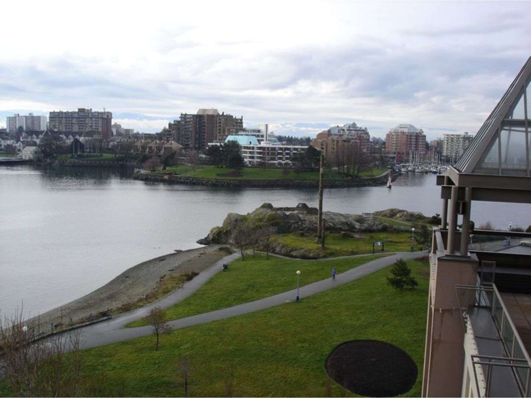
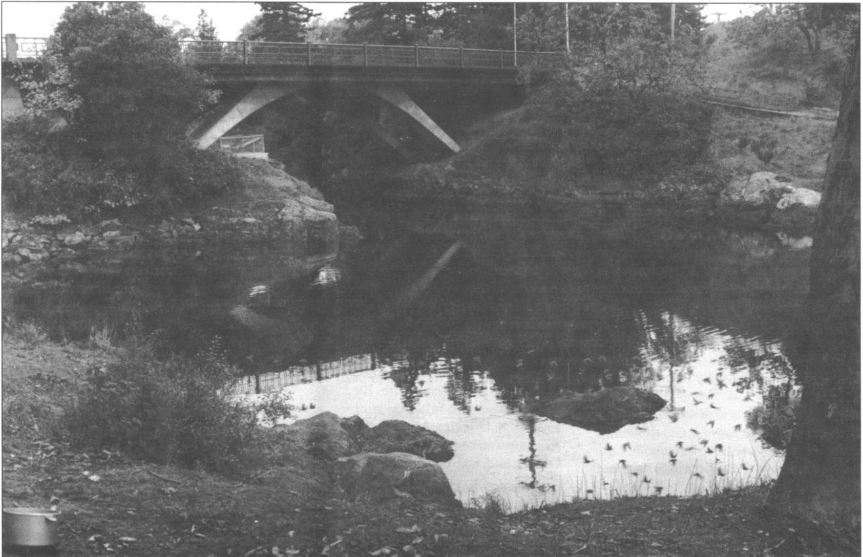
Originally Published in The Midden, 23(3), 6-7. June 1991. By Grant Keddie Introduction  THE PICTURESQUE Gorge narrows near Victoria is a place where native Songhees dove deep into the water to gain special spirit powers. Here, at the beginning of time, Halys the transformer-being turned a young girl named Camossung into stone. Her name survives today as Camosun College and Camosun Street. Just above the reversible falls caused by the shifting tides, members of the Victoria chapter of the Archaeological Society of B.C. dig into the oldest recorded shell midden on southern Vancouver Island. Two years ago, a small area of the South Gorge Bridge shell midden /DcRu 5) was exposed during construction of a walkway under­neath the Tillicum Road … Continue reading “Spirited Divers and Spirited Diggers”

The Historic Village of the Clallum and Kosampson.

2012. By Grant Keddie James Teit, working with Clallum consultants in 1907-10, was told there was: “A village of them formerly in Victoria” and that “they were closely related to the Songhish” (Teit 1910). This location would be the “Clallam Village” referred to by the editor of the Weekly Victoria Gazette on August 28, 1858. It was located in the community of James Bay, west of the Legislative buildings and just to the east of Laurel Point. It can be estimated to have been occupied about 1847-1855. This village contained Clallam people from the Olympic Peninsula, and some of the Sapsom or Kosampson people of the 1850, Douglas Treaties. The Clallam may have located here by right of intermarriage with … Continue reading “The Historic Village of the Clallum and Kosampson.”

Clallam Mat Lodge

By Grant Keddie. 2013. Introduction The Victoria Harbour area, on Vancouver Island, is within the traditional territory of the Lekungen people who are represented by the Songhees and Esquimalt First Nations. In 1843, the Hudson’s Bay Company built Fort Camosun (later Fort Albert and Fort Victoria) in the Harbour. In the early days of this establishment (1843-1855), Clallam First Nations, from the American side of the Strait of Juan de Fuca, set up camps during their trading and employment activities with the Fort. The location and nature of these camps has been a subject of some uncertainty. But, the location of one of the Clallam camps has been made clear by the finding of unique images located in the Royal … Continue reading “Clallam Mat Lodge”

Aboriginal Defensive Sites

By Grant Keddie 1996. Part 1: Settlements for Unsettling Times Over time, glaciers, sea level changes and climate have reshaped our landscape. Around us today is the evidence of how humans have utilized that environment over thousands of years. By studying types of settlements, archaeologists can get a glimpse of how people related both to the natural world and to other people. In the Victoria area, bounded by Cowichan Head to the north and Metchosin to the west, there are about 100 shoreline shell-midden sites which represent the remains of old aboriginal villages. At least 18 of these have been recorded as defensive sites or villages with large wooden defensive walls and/or defensive ditches. In spite of the many observations … Continue reading “Aboriginal Defensive Sites”

The Confusing Legend of the “Mystic Spring”

2003. by Grant Keddie In the municipality of Oak Bay, above the western side of Cadboro Bay, part of the uplands drain through a deep ravine now referred to as Mystic Vale. The creek that flows through this vale, or valley, has never been given a legal name but is referred to locally as Mystic Creek or Hobbs Creek. Mystic Creek flows north of Vista Bay Road and between Bermuda Street and Killarney road to the north of Cadboro Bay road. South of Cadboro Bay road the creek flows on the east side of Killarney road. Recently its south end was diverted east to Sinclair road. To the west of Killarney road is Mystic Lane. Artificial duck ponds have been created above and below this lane. The area between Killarney … Continue reading “The Confusing Legend of the “Mystic Spring””

The Imaginary Plank Houses of Henry Warre

By Grant Keddie.  2013. Introduction Captain Henry Warre, while on a spy mission for the British Government, painted a detailed water-color that shows the view looking north along the west side of Fort Victoria ( Figure 1). The image, painted on September 27, 1845, shows at least four traditional style First Nations plank houses adjacent to the Fort. The presence of these more permanent style plank houses has caused some confusion in the placing of various First Nations villages or encampments. Other images of Fort Victoria drawn or painted around the same time period clearly show that these plank houses did not exist. Based on the available evidence it is clear that the plank houses painted by Henry Warre in … Continue reading “The Imaginary Plank Houses of Henry Warre”

The Legend of Camosun

Originally published in: Discovery: Friends of the Royal British Columbia Museum Quarterly Review, 4(5). By Grant Keddie.  Autumn 1991. Introduction  The location of the reversible falls on the Gorge waterway in Victoria is significant in the history of Vancouver Island’s Songhees Indians. The legend of this beautiful spot under the Tillicum Road bridge produced the name of the city’s Camosun College, and was the first name for the Victoria area used by both Indians and fur traders. In 1843, James Douglas of the Hudson’s Bay Company referred to the waterway from Victoria Harbour to Portage Inlet as “Camosack”. The new fur-trade post was called “Fort Camosack”, and then “Fort Albert”, before it officially became “Fort Victoria”. Camosack was an interpretation … Continue reading “The Legend of Camosun”

Victoria’s Early Hospital Properties

Originally published in Discovery: Friends of the Royal British Columbia Museum Quarterly Review, 19(3), 4-5. By Grant Keddie. Summer 1991. Introduction In the early 1850s, temporary locations – usually private homes – served as Victoria’s first public hospitals. People who were declared insane were put with prisoners in the Public Jail. In 1853, Governor James Douglas was ordered to construct what became Vancouver Island’s first real hospital, the Esquimalt Naval Hospital. It was established for wounded British veterans of the Crimean War. The Crimean soldiers never came, but the hospital eventually was used in Esquimalt as a naval hospital. In 1858, Reverend Edward Cridge argued that “We ought immediately to unite and found a hospital, and an asylum and having … Continue reading “Victoria’s Early Hospital Properties”

Stone Cultural Feature in Thunderbird Park

By Grant Keddie.  22-02-2013. Introduction At the Royal B.C. Museum, in Victoria, British Columbia, a large natural stone with a shallow concave surface can be seen outside in the native plant garden near the North-East corner of Thunderbird Park (Figure 1 & 2).     This is a cultural object associated with First Nations that was once located south of Kamloops in the Southern Interior of British Columbia. The recorded details of its history are somewhat confusing. The natural shallow depression on the top of the rock fills with water when it rains, often forming unique patterns on the surface of the water. One could speculate that it may have been used like a mirror (Figure 3). During light rainfalls, … Continue reading “Stone Cultural Feature in Thunderbird Park”

Victoria. A Place of Strong Fibre

Originally published in Discovery, 1993:3. Summer 1993. By Grant Keddie In April 1843, native people were hired to cut posts for the walls of the first non­native buildings on the southern tip of Vancouver Island: Fort Camosun. They were given a 2’/2-point Hudson’s Bay blanket for every 40 posts, each measuring 3 feet in diameter by 22 feet long (1×7 m). On I June, about 40 men and 3 officers from the Hudson’s Bay Company began building the fort. The fort was initially referred to as Fort Camosun, and then between 6 August and 4 December as Fort Albert, in spite of an official letter dated 14 April from the Hudson’s Bay Company, which refers to the general location as: … Continue reading “Victoria. A Place of Strong Fibre”