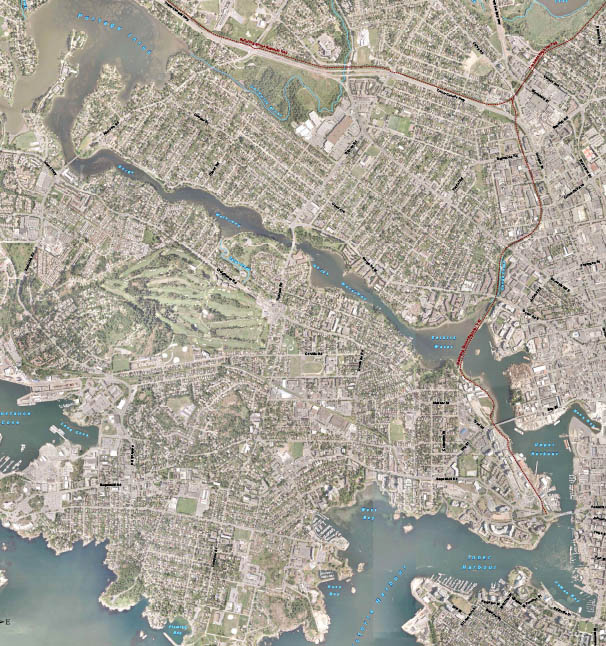
The Archaeology of the Gorge Waterway of Greater Victoria

Part 1. The changing Landscape and Victoria Harbour to Selkirk Waters. The Changing Landscape Twenty-one thousand years ago the Gorge Waterway, Victoria Harbour and all the beaches around Victoria were all deep underwater. This was caused by the glaciers pushing the land down as they approached the Victoria Region (Miskelly 2012; Clague 1983). The land rebounded to 14 meters above the present sea level by Thirteen thousand years ago (Keddie 2019). By 11.200 years ago the land continued to rebounded and the Gorge appeared for a short period of around 1,000 to 2000 years as an ocean inlet. As the land continued to rebound, the upper Gorge became dry land by 9200 years ago. The Gorge and Victoria Harbour became … Continue reading “The Archaeology of the Gorge Waterway of Greater Victoria”
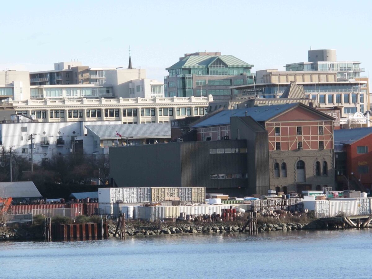
The Capital Iron Site, DcRu-116. Victoria Harbour.

January 25, 2018. By Grant Keddie. The remains of an ancient village, in the form of a shell midden, are located around the intersection of Store and Chatham Street off Victoria’s upper harbour. The site, listed as DcRu-116,   was on a rocky bluff on the east side of the Harbour between the Johnson Street and Point Ellis (Bay Street) Bridges. This specific location on a rocky bluff with a good view up the Harbour would suggest the site was chosen for defensive purposes. Archaeological Excavations In 1976, buried shell midden was discovered during the removal of massive amounts of overburden for building a new facility next to the Capital Iron building at 1900 Store Street. On an emergency basis, volunteers … Continue reading “The Capital Iron Site, DcRu-116. Victoria Harbour.”