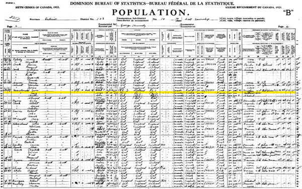
2005. By Grant Keddie (1) c. 1826-27 Census. Census of Indian Population compiled by Archibald McDonald, Fort Langley. In: Report to the Governor and Council, Feb. 25, 1830. H.B. Co. Archives, Provincial Archives of Manitoba, Winnipeg, D.4/123. Pub. 1979. In: The History of Fort Langley, 1827-96, by Mark K. Cullen, as Appendix A. Canadian Historic Sites: Occasional Papers in Archaeology and History, Paper No. 20, National Historic Parks and Sites, Ottawa. The list for “Vancouver’s Island” moves geographically from the “Nanemoos” (Nanaimo) with 100 men; the “Cowaitchins” (Cowichan) with 200 men; the Sanutch (Saanich) with 60 men; the Tchanmus (Songhees) with 40 men; to the “Soaks” (Sooke) with 50 men. There is no mention of Klallam on Vancouver Island. The … Continue reading “List and comments on Select Population References to the Lekungen (Songhees and Esquimalt Nations)”
Category: Victoria Ethnology
The Historic Village of the Clallum and Kosampson.
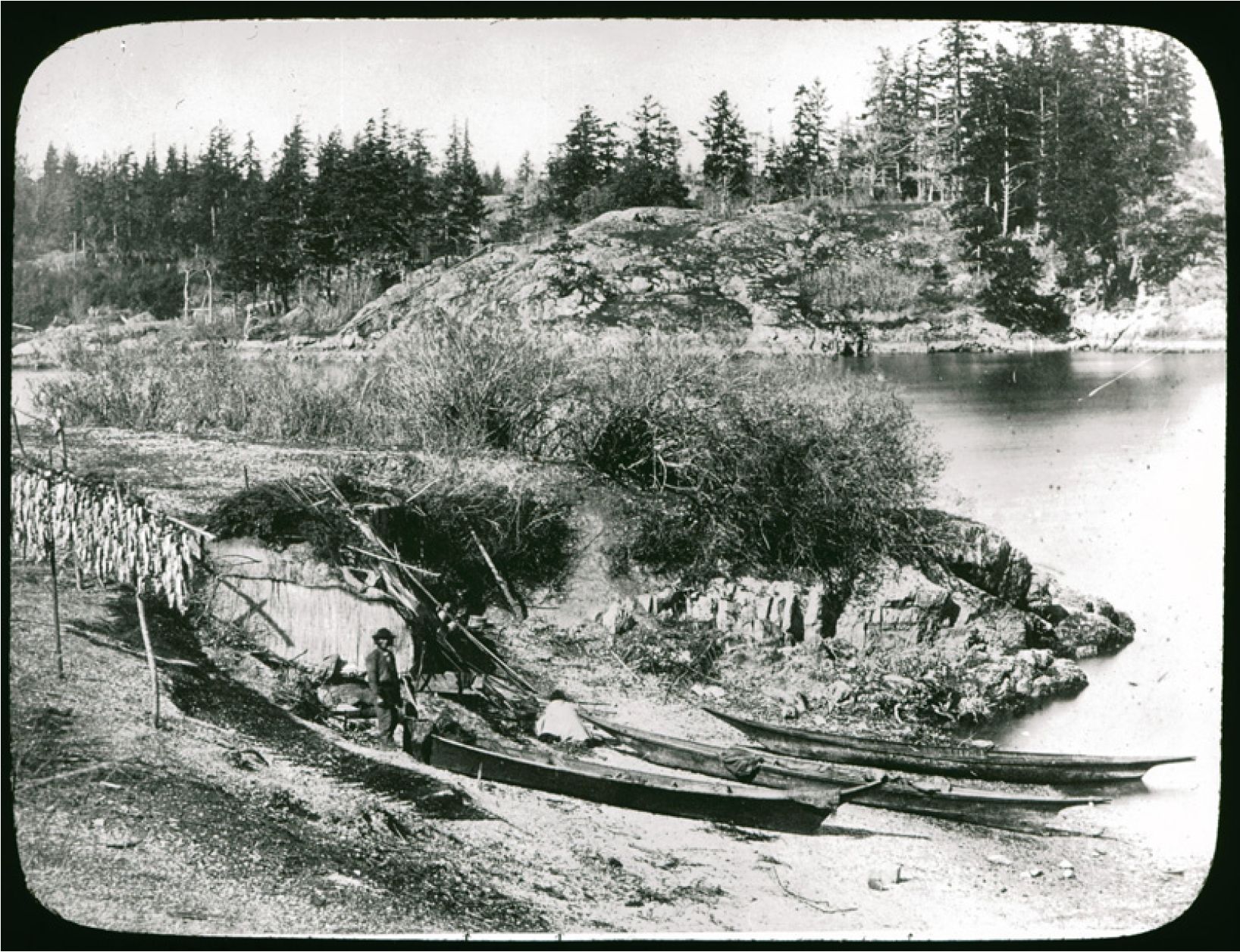
2012. By Grant Keddie James Teit, working with Clallum consultants in 1907-10, was told there was: “A village of them formerly in Victoria” and that “they were closely related to the Songhish” (Teit 1910). This location would be the “Clallam Village” referred to by the editor of the Weekly Victoria Gazette on August 28, 1858. It was located in the community of James Bay, west of the Legislative buildings and just to the east of Laurel Point. It can be estimated to have been occupied about 1847-1855. This village contained Clallam people from the Olympic Peninsula, and some of the Sapsom or Kosampson people of the 1850, Douglas Treaties. The Clallam may have located here by right of intermarriage with … Continue reading “The Historic Village of the Clallum and Kosampson.”
Clallam Mat Lodge
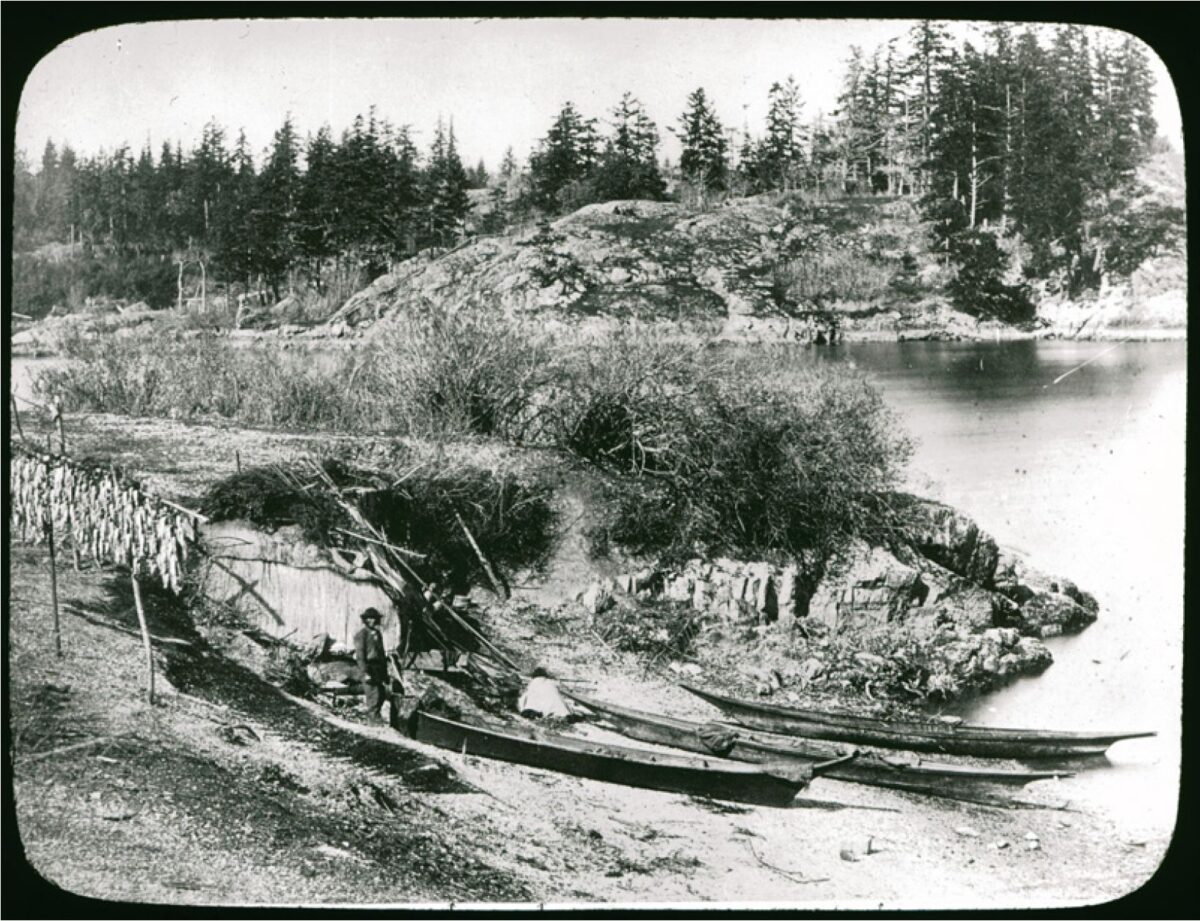
By Grant Keddie. 2013. Introduction The Victoria Harbour area, on Vancouver Island, is within the traditional territory of the Lekungen people who are represented by the Songhees and Esquimalt First Nations. In 1843, the Hudson’s Bay Company built Fort Camosun (later Fort Albert and Fort Victoria) in the Harbour. In the early days of this establishment (1843-1855), Clallam First Nations, from the American side of the Strait of Juan de Fuca, set up camps during their trading and employment activities with the Fort. The location and nature of these camps has been a subject of some uncertainty. But, the location of one of the Clallam camps has been made clear by the finding of unique images located in the Royal … Continue reading “Clallam Mat Lodge”
The Confusing Legend of the “Mystic Spring”
2003. by Grant Keddie In the municipality of Oak Bay, above the western side of Cadboro Bay, part of the uplands drain through a deep ravine now referred to as Mystic Vale. The creek that flows through this vale, or valley, has never been given a legal name but is referred to locally as Mystic Creek or Hobbs Creek. Mystic Creek flows north of Vista Bay Road and between Bermuda Street and Killarney road to the north of Cadboro Bay road. South of Cadboro Bay road the creek flows on the east side of Killarney road. Recently its south end was diverted east to Sinclair road. To the west of Killarney road is Mystic Lane. Artificial duck ponds have been created above and below this lane. The area between Killarney … Continue reading “The Confusing Legend of the “Mystic Spring””
The Imaginary Plank Houses of Henry Warre
By Grant Keddie. 2013. Introduction Captain Henry Warre, while on a spy mission for the British Government, painted a detailed water-color that shows the view looking north along the west side of Fort Victoria ( Figure 1). The image, painted on September 27, 1845, shows at least four traditional style First Nations plank houses adjacent to the Fort. The presence of these more permanent style plank houses has caused some confusion in the placing of various First Nations villages or encampments. Other images of Fort Victoria drawn or painted around the same time period clearly show that these plank houses did not exist. Based on the available evidence it is clear that the plank houses painted by Henry Warre in … Continue reading “The Imaginary Plank Houses of Henry Warre”
The Legend of Camosun
Originally published in: Discovery: Friends of the Royal British Columbia Museum Quarterly Review, 4(5). By Grant Keddie. Autumn 1991. Introduction The location of the reversible falls on the Gorge waterway in Victoria is significant in the history of Vancouver Island’s Songhees Indians. The legend of this beautiful spot under the Tillicum Road bridge produced the name of the city’s Camosun College, and was the first name for the Victoria area used by both Indians and fur traders. In 1843, James Douglas of the Hudson’s Bay Company referred to the waterway from Victoria Harbour to Portage Inlet as “Camosack”. The new fur-trade post was called “Fort Camosack”, and then “Fort Albert”, before it officially became “Fort Victoria”. Camosack was an interpretation … Continue reading “The Legend of Camosun”
Stone Cultural Feature in Thunderbird Park
By Grant Keddie. 22-02-2013. Introduction At the Royal B.C. Museum, in Victoria, British Columbia, a large natural stone with a shallow concave surface can be seen outside in the native plant garden near the North-East corner of Thunderbird Park (Figure 1 & 2). This is a cultural object associated with First Nations that was once located south of Kamloops in the Southern Interior of British Columbia. The recorded details of its history are somewhat confusing. The natural shallow depression on the top of the rock fills with water when it rains, often forming unique patterns on the surface of the water. One could speculate that it may have been used like a mirror (Figure 3). During light rainfalls, … Continue reading “Stone Cultural Feature in Thunderbird Park”
Victoria. A Place of Strong Fibre
Originally published in Discovery, 1993:3. Summer 1993. By Grant Keddie In April 1843, native people were hired to cut posts for the walls of the first nonnative buildings on the southern tip of Vancouver Island: Fort Camosun. They were given a 2’/2-point Hudson’s Bay blanket for every 40 posts, each measuring 3 feet in diameter by 22 feet long (1×7 m). On I June, about 40 men and 3 officers from the Hudson’s Bay Company began building the fort. The fort was initially referred to as Fort Camosun, and then between 6 August and 4 December as Fort Albert, in spite of an official letter dated 14 April from the Hudson’s Bay Company, which refers to the general location as: … Continue reading “Victoria. A Place of Strong Fibre”
Paul Kane Sketch Brought to Life at the Royal BC Museum
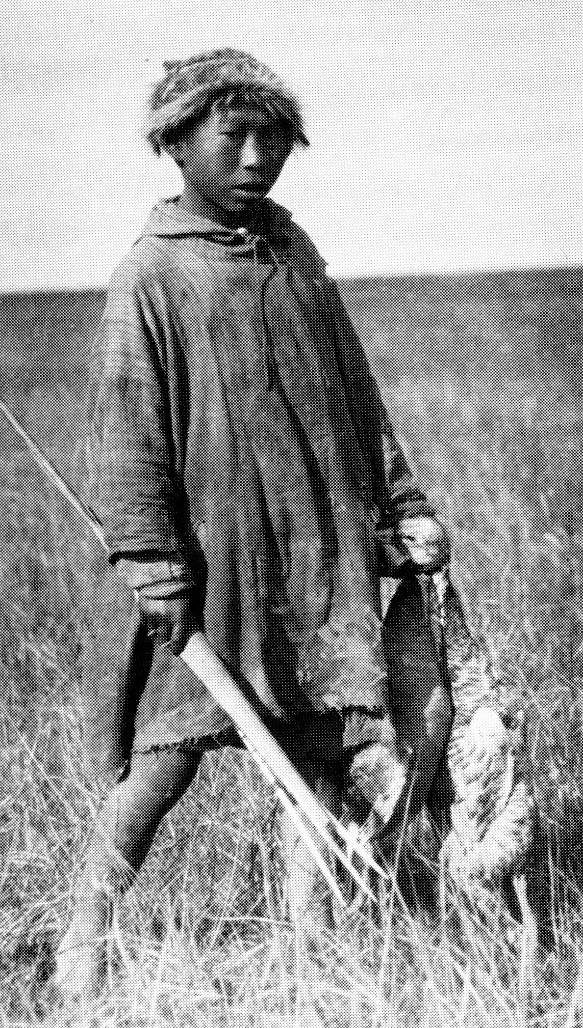
September 14, 2017. By Grant Keddie In the 1970s, I was aware of an old lantern slide in the Royal BC Museum ethnology collection that I later identified as a Songhees First Nation. I based my information on the original field portrait catalogue of Paul Kane – created when he was at Fort Victoria in 1847 (Harper 1971:315-317). I did not know at the time the original sketch was missing, and this seemed to be the only image of it. Figure 1, is No. 46 in Paul Kane’s portrait log: “Ska-tel-san – a Samas Tillicum with a (grass) hat that is much worn here south of de Fuca”, and in his Exhibition of 1848 he is listed as: “124 Sca-tel-son … Continue reading “Paul Kane Sketch Brought to Life at the Royal BC Museum”
The Rocks of Harling Point
Originally published in Discovery, 19(1). Winter 1991. By Grant Keddie One of the most fascinating places to visit on southern Vancouver Island is Harling Point in the Victoria municipality of Oak Bay between Gonzales Bay and McNeill Bay. Many people go to Harling Point to see the Chinese cemetery. You can walk up to the large concrete cremation pillars and altar and see where, in the early 1900s, relatives placed food and burned colourful rice-paper offerings for the dead. The Chinese traditionally choose locations for important cultural activities, such as burials, that are in harmony with nature by following the practice of feng-shui. In Western terms, this is geomancy, the selection of particular sites of land whose inherent qualities are … Continue reading “The Rocks of Harling Point”