The Archaeology of the Gorge Waterway of Greater Victoria

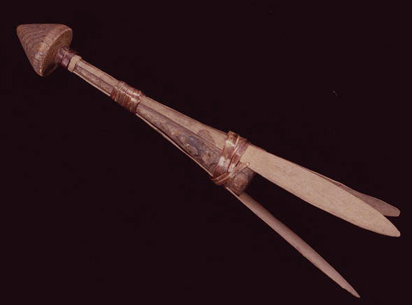
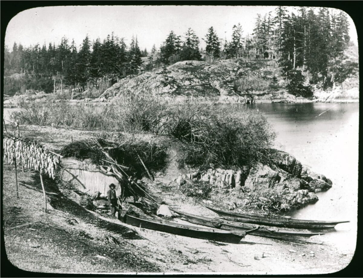
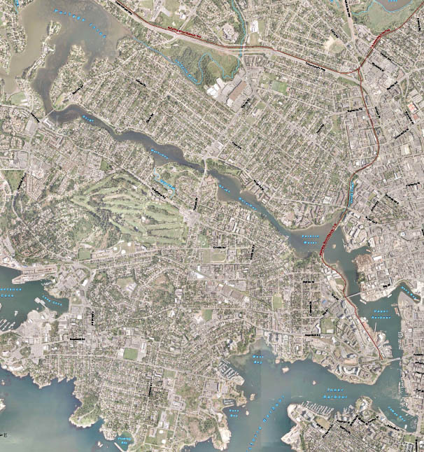
Part 1. The changing Landscape and Victoria Harbour to Selkirk Waters. The Changing Landscape Twenty-one thousand years ago the Gorge Waterway, Victoria Harbour and all the beaches around Victoria were all deep underwater. This was caused by the glaciers pushing the land down as they approached the Victoria Region (Miskelly 2012; Clague 1983). The land rebounded to 14 meters above the present sea level by Thirteen thousand years ago (Keddie 2019). By 11.200 years ago the land continued to rebounded and the Gorge appeared for a short period of around 1,000 to 2000 years as an ocean inlet. As the land continued to rebound, the upper Gorge became dry land by 9200 years ago. The Gorge and Victoria Harbour became … Continue reading “The Archaeology of the Gorge Waterway of Greater Victoria”

The Shuttle-cock Lure. Fishing around the Salish Sea

By Grant Keddie The shuttle-cock lure and spear, was a unique form of technology used to catch mostly the larger lingcod and rockfish. The fisherman used this device at low tide from anchored canoes or rock points that overlooked kelp beds. The lure would be pushed down deep with a separate pole that was quickly pulled away from it. The lure then spun toward the surface, the fish darted after it and was speared when it came near the surface. The spear was 4.5 to 6 meters long. It consisted of two or three, unbarbed, fir shafts on the end. The shafts were about 4cm thick, 46cm long and about 10 cm apart at their tips (Swan 1870; Jennes 1934-35; … Continue reading “The Shuttle-cock Lure. Fishing around the Salish Sea”

A Lekwungen Herring Fishing site in Esquimalt Harbour: A Unique photograph in the Collection of the Royal B.C. Museum

By Grant Keddie. Nov 2016. 19th century photographic images in the Victoria region that show Lekwungen (Esquimalt and Songhees First Nations) undertaking traditional food gathering practices are rare. The only example of fishing is a photograph, taken in 1868, by Frederick Dally in Esquimalt harbour at the south entrance to Lang Cove (RBCM PN905). Lang Cove is located south of Skinner’s Cove, both of which are within the larger Constance Cove. This is the location of an ancient shellmidden as demonstrated by the scattered white clam shells seen in the image and later observed by the author at this location. This image (fig. 1 and close-up fig.2) of a man and woman at a herring fishing site is listed in … Continue reading “A Lekwungen Herring Fishing site in Esquimalt Harbour: A Unique photograph in the Collection of the Royal B.C. Museum”